Brought to you by OakPoint Insurance
After a quiet and seasonally warm Independence, we have a snap back to reality today. The typical July heat, humidity, and storm chances will present today and much of this week. Temperatures today will look to get into the lower 90s, but the humidity will be much more noticeable this afternoon, with dewpoints in the upper 60s.
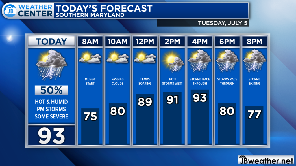
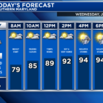
We are off to quite the warm and humid start this morning. This will lay the groundwork for conditions to turn hot and oppressive by lunchtime! Temps will likely be in the lower 90s just after lunchtime, with heat indices approaching the middle to upper 90s.
The heat and humidity will allow atmospheric storm energy to percolate over the region this afternoon. As a frontal boundary crosses the region this afternoon, it will look to set off a line of storms. Those storms will feast on that storm energy, which may allow them to become strong to severe this afternoon.
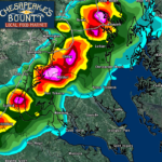
Our Chesapeake’s Bounty Futurecast shows that line of storms firing after lunchtime, just to our west. That line will race eastward, as we approach the evening rush hour, and it will likely gain strength as it does so. Futurecast shows that line crossing I-95 around 4pm, and pushing through Southern MD between 5-7pm before gradually clearing afterward.
We will need to see how just how much storm energy is present this afternoon, and if the forcing mechanism is indeed strong enough to kick off storms. If either one of those is off, then the severe threat will be minimized. On the other hand, if both are in check, then we could see strong storms race through this afternoon.
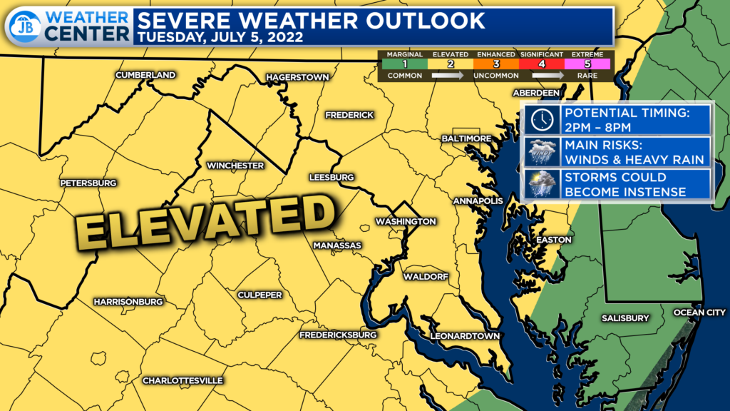
In anticipation of this storm threat, the Storm Prediction Center has already placed much of the region under a Level 2 “Elevated Risk” of severe weather for today. This indicates the increased chance of seeing several strong to severe thunderstorms. The primary timing, again, looks to be as early as 2/3pm out west of I-95 and as late as 7/8pm closer to the Bay.
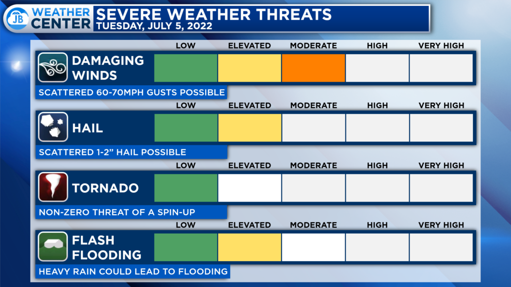
The main risk with today’s storms would be damaging wind gusts and intense heavy rain with lightning as these storms push through. There is also a risk of 1-2″ sized hail and a non-zero threat of a brief-spin-up tornado. However, the tornado threat is not the primary concern today.
Remember that severe weather forecasting is far from a guarantee of anything. The goal of these forecasts is to alert you to the potential of storms, not a promise of storms.
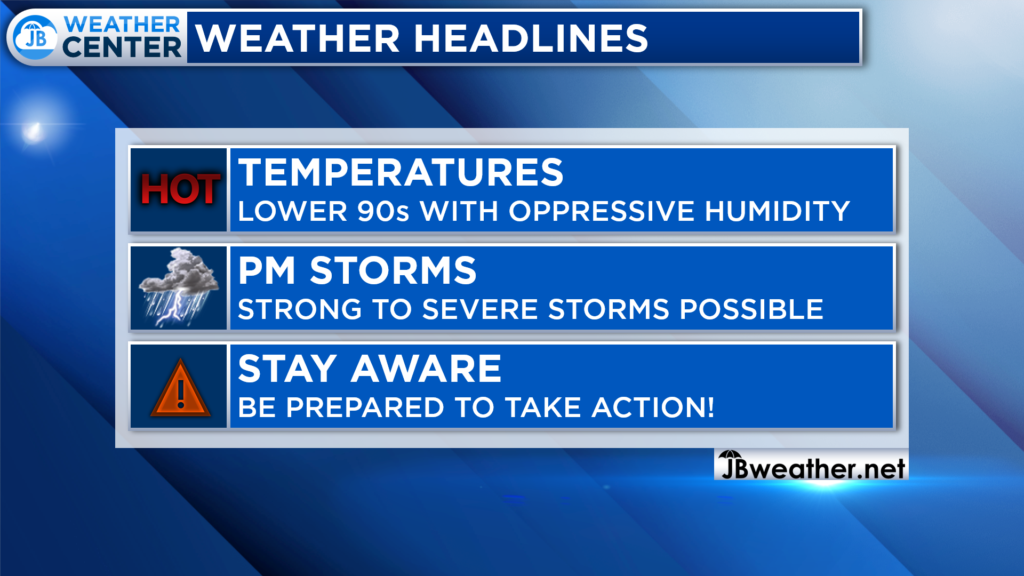
Be prepared for hot, humid, and potentially stormy conditions today! If you have outdoor plans this afternoon, I would definitely suggest staying weather aware and having a Plan B ready to go in case these storms do form. It is not a 100% guarantee that these storms will form, as is always the case, but if they do they could bring high impacts. Be ready to act as weather conditions could change suddenly and quickly.
Stay with JB Weather for the latest information on Southern Maryland weather. You can always access my forecasts and updates here on the website, on Facebook, on Twitter, on Instagram, and on YouTube.
-JB

The premier insurance agency in Southern Maryland with three locations. We provide insurance for Home, Auto, Business, Farm, and Life. In partnership with many top insurers, we provide solutions to fit our client’s needs. Get in touch with us at 301-863-8100 to experience the difference, mention JB Weather to claim your free gift!
