Brought to you by Calvert Title Company
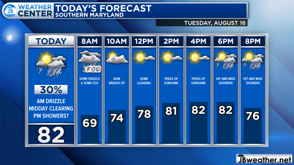
As expected, yesterday was a somewhat gloomy start to the week as cloud cover and showers stuck around. We didn’t see much rain, but just enough to keep surfaces wet. Today will likely be a smidge better than yesterday as low pressure moves offshore, but showers may still linger.

Out there this morning, we are off to a misty start with some showers moving through and some patchy fog developing. We should see some clearing by midday, which will allow temperatures to warm into the 80s. While showers will be possible all day, the best time to see them looks to be this morning and again this evening.
Our Futurecast model largely agrees with this assessment of our rain chances. You can see how it shows some hit-and-miss activity this morning that should gradually die off as we approach lunchtime. More hit-and-miss showers are possible this evening, but it hardly looks like a washout. You may want to keep the umbrella handy today, but you may not need it all that much.

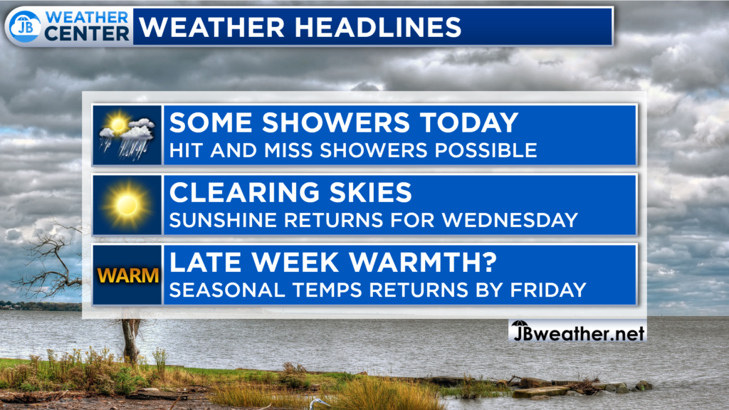
Today looks to be our last day with rain for a little bit! Today’s spotty showers should give way to sunshine for the middle to end of this week. This means that we will see a gradual warm-up as we approach Friday, but it appears that this warm-up may only feature highs in the upper 80s, not the 90s.
Stay with JB Weather for the latest information on Southern Maryland weather. You can always access my forecasts and updates here on the website, on Facebook, on Twitter, on Instagram, and on YouTube.
-JB

Calvert Title Company is guiding you HOME one closing at a time! Check out https://calverttitle.com/ today!

