Brought to you by Cedar Point Federal Credit Union
By Maryland standards, our severe weather season has been off to a relatively slow start. However, that will look to change tomorrow. An approaching cold front will be the forcing mechanism to kick off storms across the Mid-Atlantic on Friday, some of which could be strong to severe.
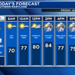
Our Hi-Resolution Futurecast shows that showers will move through western Maryland and West Virginia early tomorrow as areas east of I-95 warm into the 80s, thanks to a southerly wind. As the cold front approaches the area from the west, we will shower, and storm activity increase. Futurecast currently depicts the highest chance of storms moving through during the afternoon.
The storms’ severity and coverage will depend on how much sunshine our region sees tomorrow. The more sunshine we see, the more unstable our atmosphere will become. That said, as things stand now, this does not look like a severe weather outbreak.

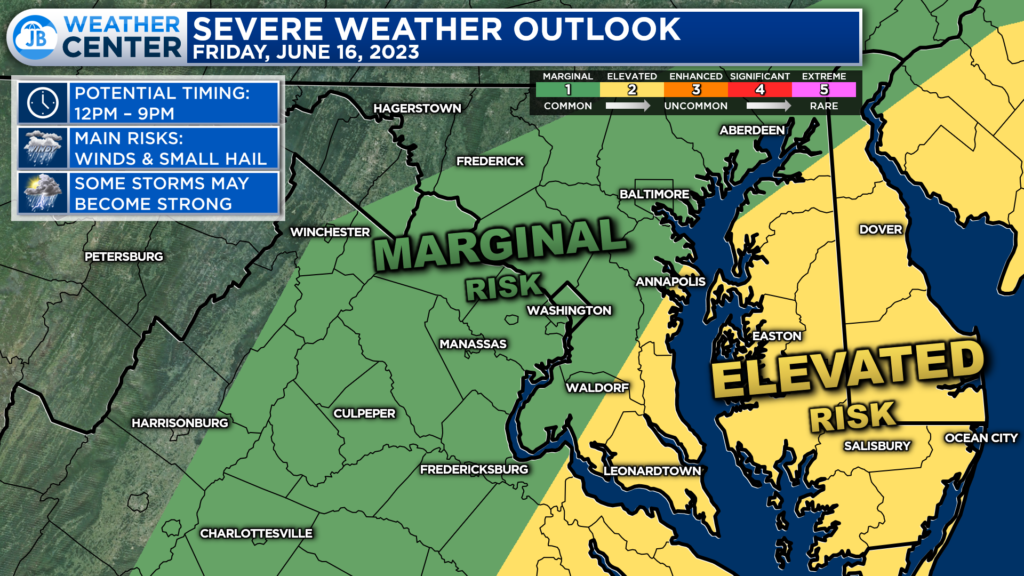
This afternoon, the Storm Prediction Center areas along and east of the Bay, including much of Southern Maryland, have been placed under a Level 2 “Elevated Risk” of seeing severe weather. While this is not uncommon for our region in the month of June, it does mark one of only a handful of times our region has been highlighted for a severe threat.

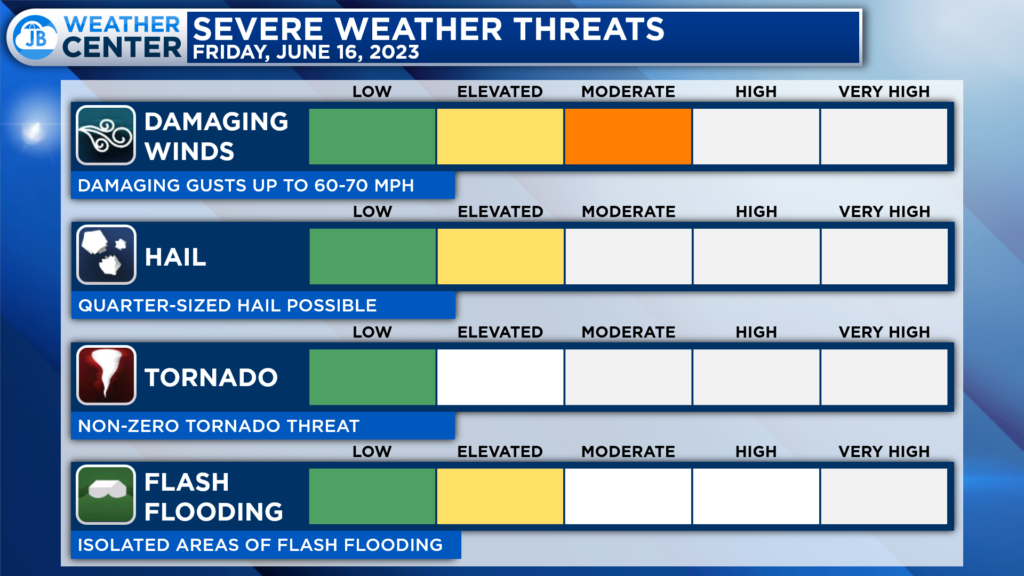
The primary threats tomorrow from any storms would be damaging winds and small hail. With enough instability in the atmosphere (from increased sunshine), some storms could produce 60mph+ winds. Given the nature of summertime storms, locally heavy rain could pose a flash flooding threat, especially given how dry our region has been.
The threat of a tornado is low tomorrow but not zero. That’s to say that while we do not expect tornadic activity, it will be something we will need to monitor.
Remember that severe weather forecasting is far from a guarantee of anything. The goal of these forecasts are to alert you to the potential of storms, not a promise of storms.
While I would not necessarily cancel any outdoor plans, I would have an indoor backup plan for any activities after lunchtime. While not everyone will see storms and rain tomorrow, those that do could see some meaningful impacts.
Stay with JB Weather for the latest information on Southern Maryland weather. You can always access my forecasts and updates here on the website, on Facebook, on Twitter, on Instagram, and on YouTube.
-JB

Cedar Point has been providing trusted banking, lending and personal finance solutions to the Southern Maryland Community since 1945. Visit the credit union at any of its 6 locations in St. Mary’s, Charles and Calvert counties or online at www.cpfcu.com.

