Brought to you by Row House (SOMD)
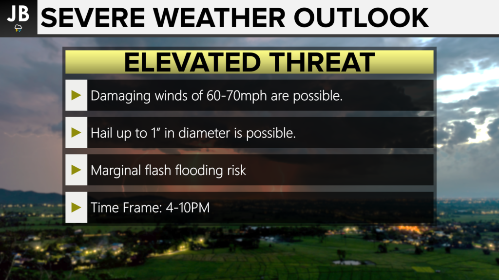
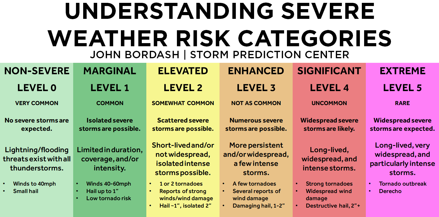
The Storm Prediction Center has upgraded our area to an Elevated Threat (Level 2 of 5) of seeing strong to severe thunderstorms this evening. The Elevated Risk of storms is highlighted in the yellow zone on the map above. This comes as a cold front looks to move through our region this evening. This cold front will likely develop a broken line of thunderstorms as it moves eastward. The main threats this evening are damaging winds up to 60-70mph and hail up to 1″ in diameter.
Our Chesapeake’s Bounty Futurecast does a great job of showing the potential threat in our area. We will be looking towards our west over the coming hours as this line begins to form. What develops is likely to be strengthening as it moves across I-95 around 4-6PM. The thunderstorms would then move through our region and should move out by 9-11PM. When storms develop in a line like this it typically leads to a low tornado threat with the main risk coming from damaging straight-line winds.
It will be important to stay with JB Weather for the latest information on impacts here in Southern Maryland. You can always access my forecasts and updates here on the website, on Facebook, on Twitter, and on YouTube. JB Weather is Southern Maryland’s Weather Leader, and I am working around the clock to keep you ahead of the storm!
-JB

Row House SOMD is more than just a workout; it’s about people, connection, strength and community. Our classes offer varied programming, helping you progress your workout and avoid plateaus. In our boat there’s a seat for everyone, so contact us TODAY at 301.686.7788 and mention JB Weather to schedule a FREE introductory class. Also receive a FREE GIFT when you sign up for a membership.


