Brought to you by Sonder Studios
A new system will be worth monitoring as we head into early Tuesday, especially after a fresh shot of cold air settles into the Mid-Atlantic on Monday.
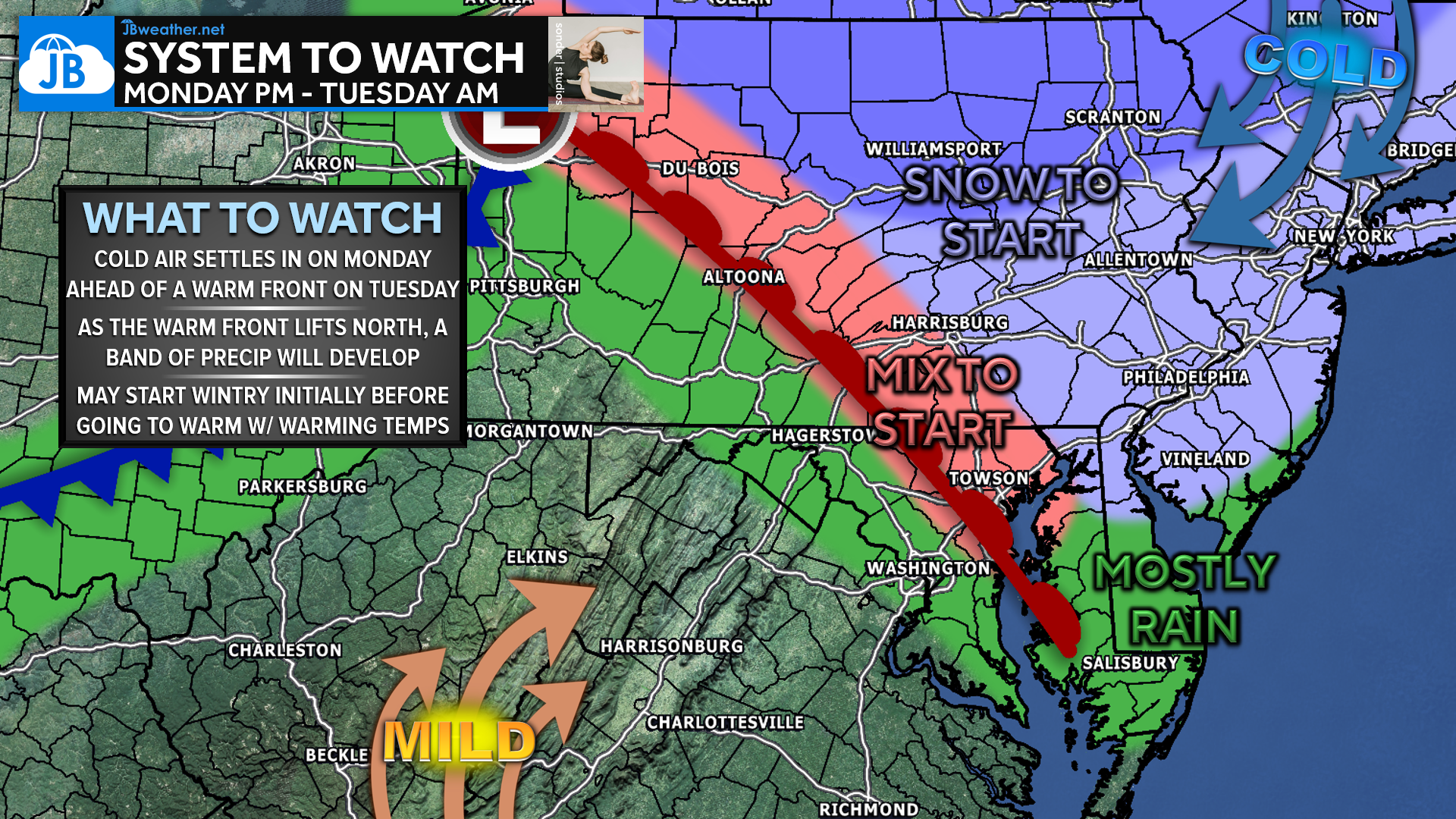
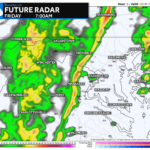
High pressure builds in on Monday, delivering another injection of cold air across the region. By Monday night, a fast-moving clipper system races across the eastern U.S., with its warm front lifting northward through the Mid-Atlantic. As this warm front approaches, a band of light precipitation is expected to develop late Monday night into early Tuesday morning.
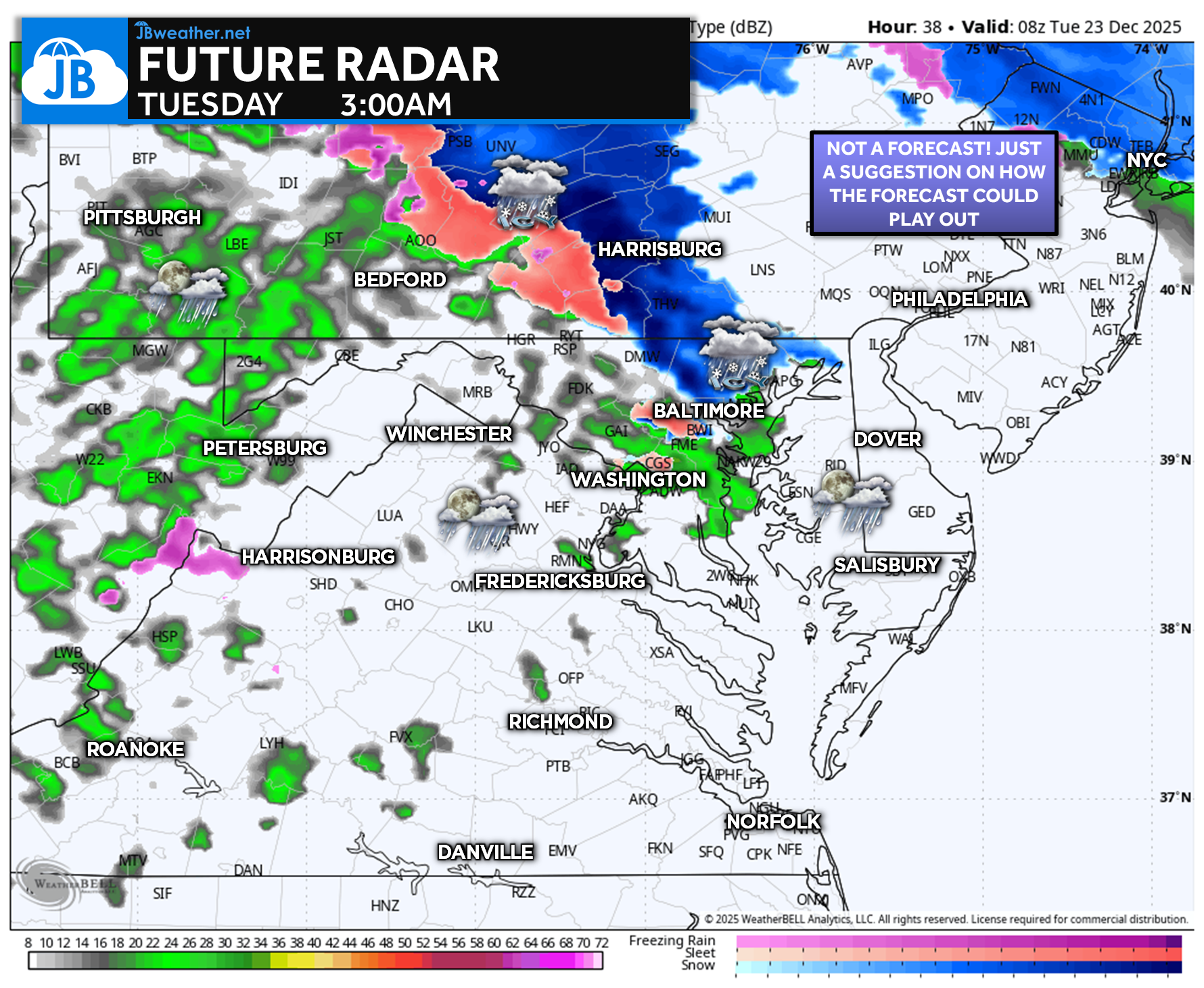
There may be just enough cold air in place northwest of I-95 for a few locations to start as a snow or sleet mix pre-dawn Tuesday. However, warmer air is expected to surge north quickly, transitioning any wintry precipitation over to rain showers. Overall precipitation looks light and spotty, but if coverage increases even modestly early Tuesday, there could be localized slick travel impacts for the Tuesday morning commute, especially in colder inland and northern areas.
Stay with JB Weather for the latest information on impacts here in Southern Maryland and across the Mid-Atlantic. You can always access my forecasts and updates here on the website, on Facebook, on Twitter, on Instagram, and on YouTube. JB Weather is the Mid-Atlantic’s Weather Leader, and I am working around the clock to keep you ahead of any storm!

SONDER STUDIOS® is home to Yoga, Pilates, Barre, and Strength classes in Calvert County. Wellness is our business, and belonging is at the heart of our culture. We are grateful for your trust for 6+ years. Sign up for an intro week at www.sonderstudios.us
John Bordash
View More PostsJB Weather forecaster John Bordash is working around the clock to provide Southern Maryland, and neighboring communities, with accurate and reliable weather information.