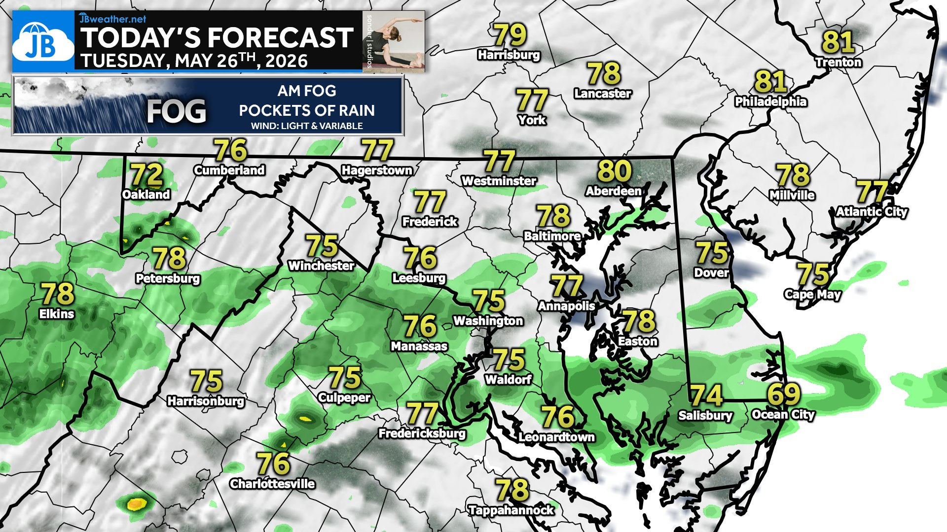
Much like what we saw all weekend, we have a wet day on tap. While today will not be a total washout, periods of rain are possible throughout the day. Some spots could add another quarter inch of rain. It will also feel humid as dewpoints surge back into the 60s! This is helping to create some of that AM fog!
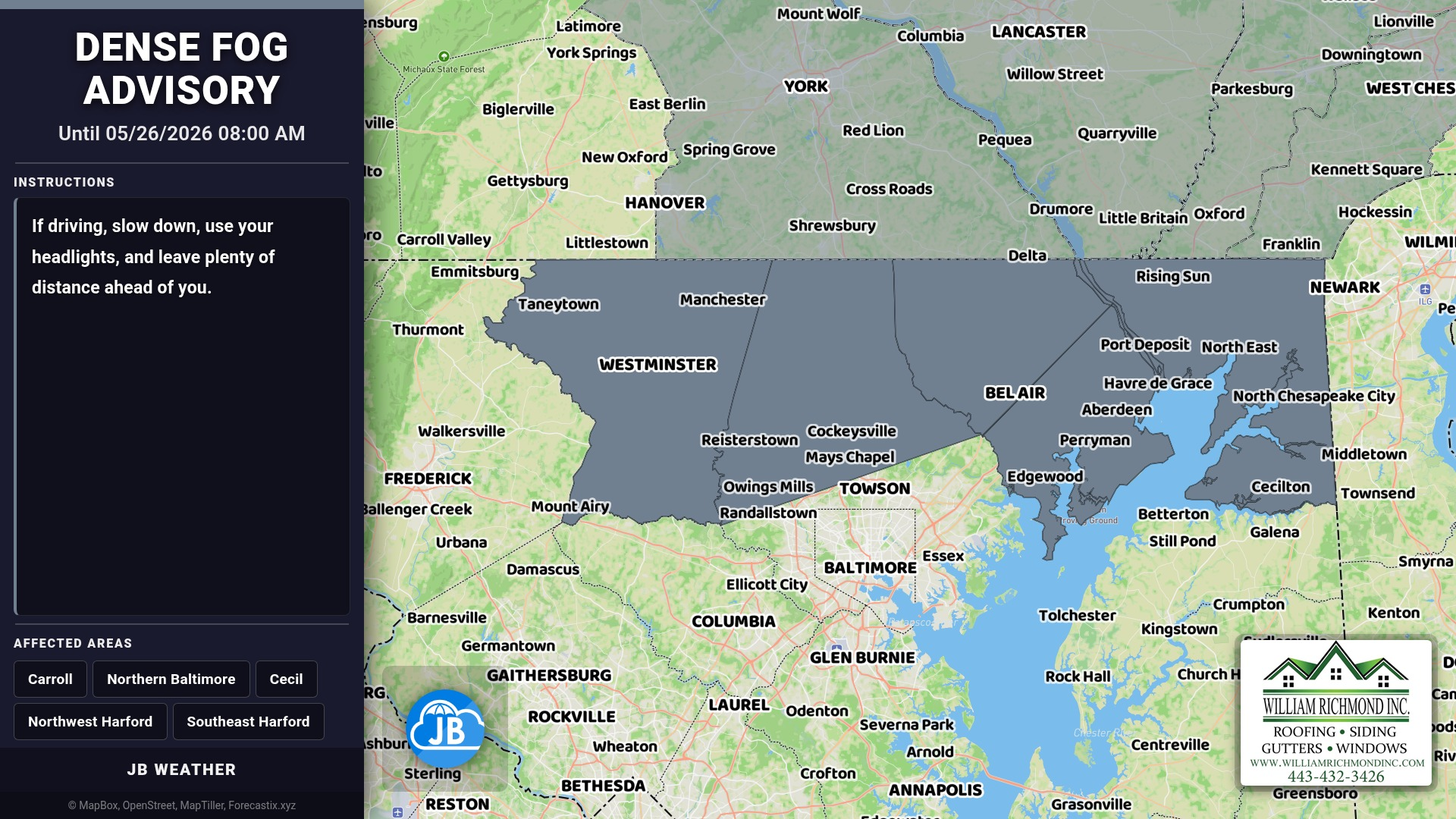
Dense fog is reducing visibility to less than a quarter mile in Carroll, Cecil, Northern Baltimore, Northwest Harford, and Southeast Harford Counties. Expect the worst conditions until 8 AM EDT this morning. Travel may be hazardous with very low visibility. Use extra caution and slow down.
Stay with JB Weather for the latest information on impacts here in Southern Maryland and across the Mid-Atlantic. You can always access my forecasts and updates here on the website, on Facebook, on Twitter, on Instagram, and on YouTube. JB Weather is the Mid-Atlantic’s Weather Leader, and I am working around the clock to keep you ahead of any storm!

John Bordash
View More PostsJB Weather forecaster John Bordash is working around the clock to provide Southern Maryland, and neighboring communities, with accurate and reliable weather information.