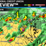
Good Wednesday morning! After a wet start to the week, we’re tracking one more active weather day across the region before conditions finally begin to improve later tonight. 🌩️
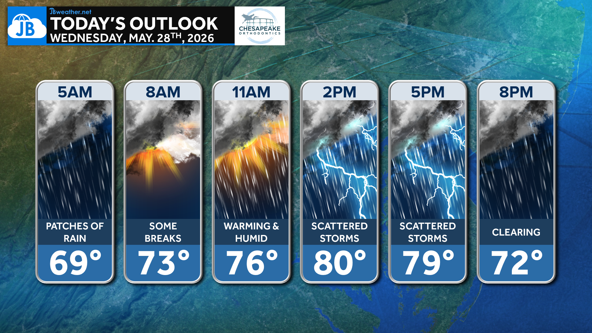
The day will start with patches of leftover rain and clouds, but we should see some breaks develop through the morning as temperatures climb back toward 80°. As the atmosphere warms and becomes more humid this afternoon, scattered thunderstorms are expected to develop across the Mid-Atlantic.
Not everyone will see a storm today, but any storm that forms could produce gusty winds, torrential downpours, and frequent lightning. The greatest storm threat looks to occur between about 1 PM and 7 PM before activity gradually clears out later this evening.
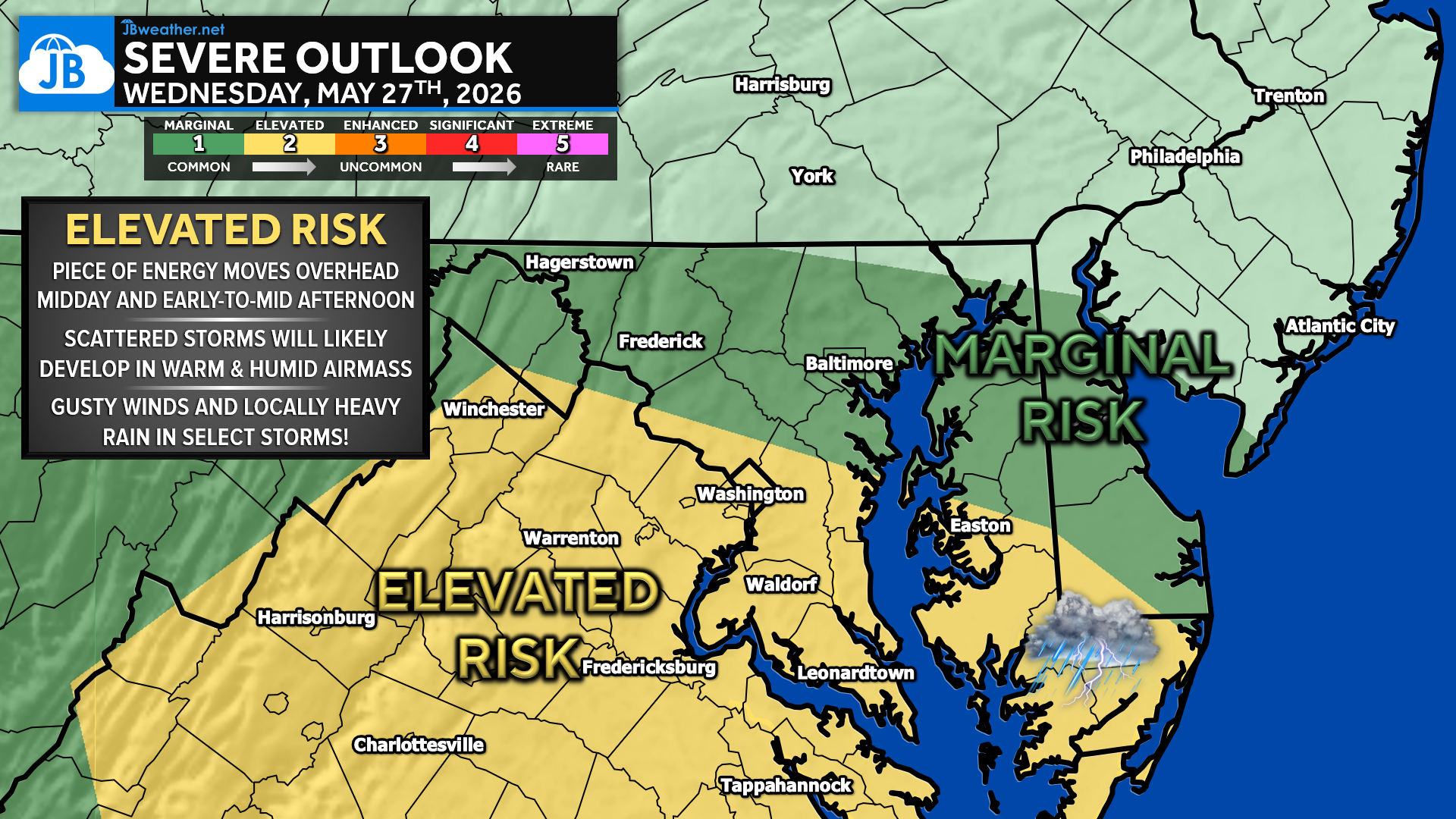
⏰ Storm Timing: Afternoon into early evening
⚠️ Main Threat: Damaging wind gusts
🌧️ Additional Threats: Heavy rain & localized flooding
🌤️ Improving conditions expected tonight
Stay weather aware this afternoon, especially if you have outdoor plans! Any weather alerts that get issued will be auto-posted across our platforms! 📲
Stay with JB Weather for the latest information on impacts here in Southern Maryland and across the Mid-Atlantic. You can always access my forecasts and updates here on the website, on Facebook, on Twitter, on Instagram, and on YouTube. JB Weather is the Mid-Atlantic’s Weather Leader, and I am working around the clock to keep you ahead of any storm!

John Bordash
View More PostsJB Weather forecaster John Bordash is working around the clock to provide Southern Maryland, and neighboring communities, with accurate and reliable weather information.