A mild October weekend is about to come to an end as a strong cold front sweeps through the region tonight.
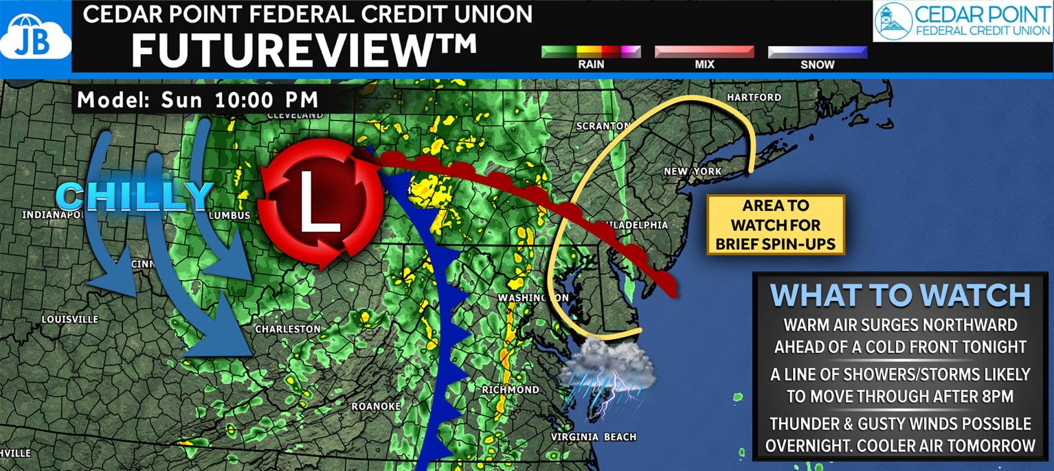
Warm, humid air will surge northward ahead of the boundary, helping to fuel a line of showers and thunderstorms after 8 PM. Some of these storms could produce thunder, brief downpours, and gusty winds, and areas east of the Chesapeake Bay will need to watch for a quick spin-up tornado as the front taps into slightly stronger wind shear. While this is not a widespread severe weather setup, the ingredients are there for a few feisty storms.
The front will move through fairly quickly, allowing most of the rain to clear out by early Monday morning. Behind it, expect a return to fall temperatures and a much cooler feel, with gusty northwest winds and drier air taking over for the start of the new week. After tonight’s unsettled weather, tomorrow will feel much more like late October.
John Bordash
View More PostsJB Weather forecaster John Bordash is working around the clock to provide Southern Maryland, and neighboring communities, with accurate and reliable weather information.

