Brought to you by Berkshire Hathaway HomeServices PenFed Realty
After a nice start to the week, we have seen a snap back to reality with temperatures the last few days returning back to seasonal averages with noticeable humidity, as well. This will all culminate into a hot day tomorrow before a cold front swings through in the afternoon bringing the chance for scattered storms.
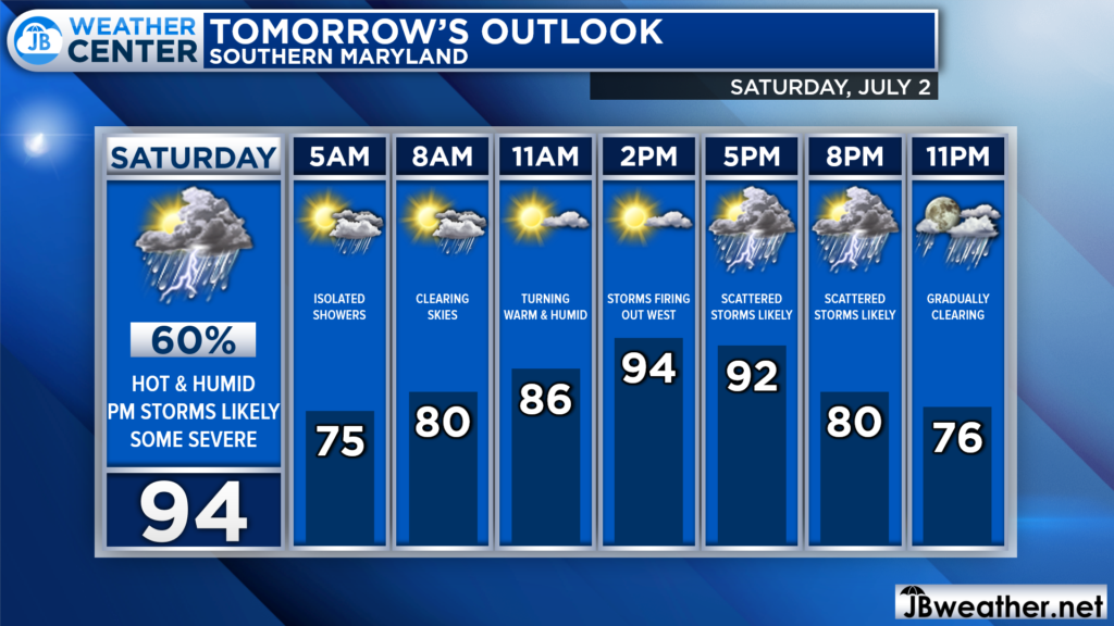
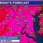
Much like today, tomorrow will get off to a muggy start. There is the chance for a few showers to be present tomorrow morning, but they should not be impactful and should clear out by mid-morning. This will set us up for a humid day and temperatures soaring into the upper 80s and 90s.
A cold front will approach the Appalachian Mountains around lunchtime on Saturday and swing through the Mid-Atlantic throughout the afternoon and evening. This front will deliver somewhat cooler air, but not without bringing storms. Anytime after 2/3pm looks to be fair game for storms as the front moves through.
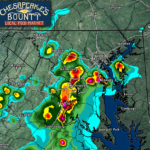
Our Chesapeake’s Bounty Futurecast model seems to have a good handle on this storm threat. We should see storms begin to fire up to our west by lunchtime, as a wave of atmospheric energy races out ahead of the main front. Those storms out west will work quickly to the east and move through our region throughout the afternoon and evening.
We are likely to see a couple rounds of storms move through as both the wave of atmospheric energy and cold front work overhead throughout the day. This could mean that a few waves of rain are possible anytime after 2pm, with the first round of rain having the highest potential to be severe. This is because the first round will have the highest amount of unused storm energy to tap into.
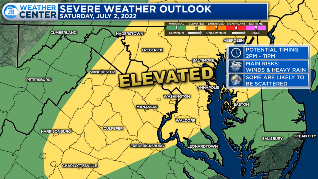
The Storm Prediction Center had placed much of the region under a Level 2 “Elevated Risk” of seeing strong to severe storms tomorrow. This means that we have notable odds of seeing a couple of storms that fire up tomorrow turn severe as they work eastward. To me, anyone between the Appalachians and the Bay could see severe storms. Thankfully, this does not look to be a severe weather outbreak.
Remember that severe weather forecasting is far from a guarantee of anything. The goal of these forecasts is to alert you to the potential of storms, not a promise of storms.
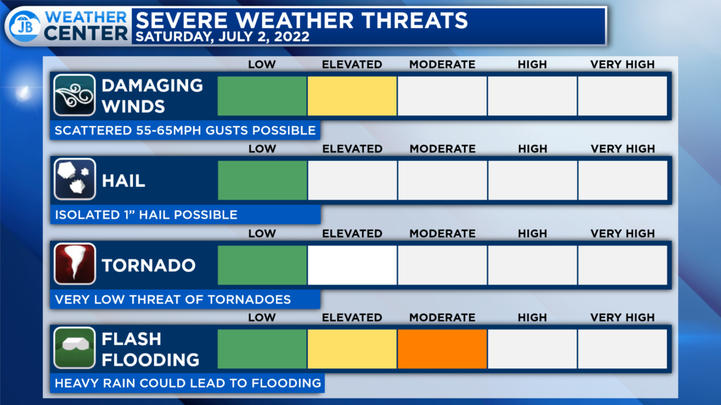
The primary risks tomorrow will come from damaging winds and flash flooding. Winds in thunderstorms could gust upwards of 60-65 mph. The atmospheric profile does not seem all that conducive for tornadic development, which is welcomed news. Some storms could contain 1″ hail, though.
With the threat of multiple rounds of showers and storms, I would be concerned about a higher than normal flooding threat. Rounds of showers and storms will propagate eastward over the course of the afternoon and evening, and they could quickly put down up to an inch of rain, leading to some issues.
Now, not everyone will see heavy rain tomorrow. As is the case with typical summertime thunderstorms, rainfall amounts and impacts could vary quite a bit over short distances. And, weather conditions will be prone to change very quickly and suddenly.
If you have outdoor plans or events scheduled for tomorrow, especially after 2pm, I would begin thinking about what a Plan B could look like, and have a plan to move indoors quickly, if needed. Stay weather aware tomorrow afternoon, and stay alert if any watches or warnings get issued. The deeper we get into the afternoon and evening, the higher the chance that you could see showers and storms move overhead.
Behind this, we may see a couple of lingering showers Sunday morning. We should see clearing skies and have clear skies Sunday afternoon and Monday! Any fireworks displays scheduled for either day should be fine.
Stay with JB Weather for the latest information on Southern Maryland weather. You can always access my forecasts and updates here on the website, on Facebook, on Twitter, on Instagram, and on YouTube.
-JB

Real Estate now! Not sure where to start? View our Southern Maryland inventory of homes, land, farms and commercial properties on penfedrealty.com. Engage with our planning tools to determine your next real estate lifestyle decision, choose your realtor as a trusted advisor. Experience the difference with service and support from real estate’s forever brand!
