Brought to you by Calvert Title Company
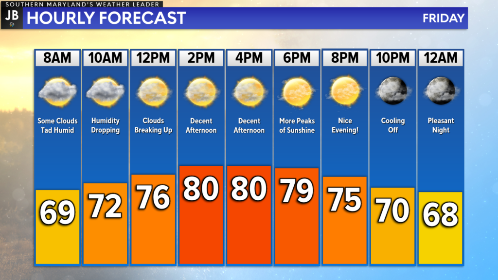
After the string of high, early-season heat this week, we finally have some nice weather on tap! Last night’s cold front brought severe storms with damaging winds, hail, heavy rain, and lightning! We saw that front clear the region overnight, which will set up a decent day today!

We are off to a somewhat humid start this morning, but we will see that humidity taper off over the next few hours. There have also been some spotty showers this morning, but those should not last. Clouds will begin to break up this afternoon, allowing us to see pleasant weather this afternoon and evening! Perfect for date night!

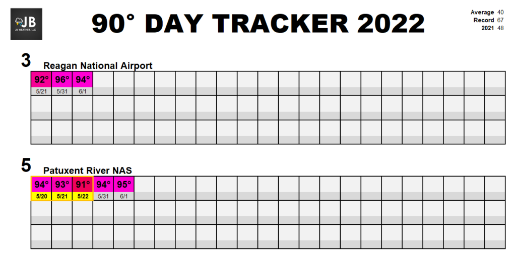
Yesterday was quite warm with many spots making it into the 90s! However, our official reporting sites fell just short of making it there. Pax River NAS only peaked out at 88° with Reagan National maxing out at 89°. This means we fell just short of meeting heat wave criteria of 3+ days of highs of 90°+. With that said, we are ahead of where we were this time last year!
Stay with JB Weather for the latest information on Southern Maryland weather. You can always access my forecasts and updates here on the website, on Facebook, on Twitter, on Instagram, and on YouTube.
-JB

Calvert Title Company is guiding you HOME one closing at a time! Check out https://calverttitle.com/ today!
1 thought on “Friday’s Forecast: Great Weather to End the Week!”
Comments are closed.


I always count on your forecast