Brought to you by Chesapeake’s Bounty
Yesterday was the kickoff to the core of our heat wave. Highs maxed out in the middle 90s, with heat indices over 105* and some scattered PM storms. We will look to keep it going today with more oppressive heat and humidity! The good news, for some, is that the storm chances are quite low today.

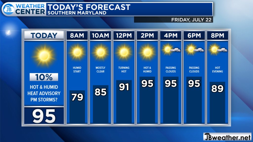
Once again, we are off to a muggy start with warm temperatures and noticeable humidity. Temperatures will, once again, soar as we head throughout the morning. We will likely get into the 90s by lunchtime. This afternoon looks hot, humid, and should be quiet on the radar.

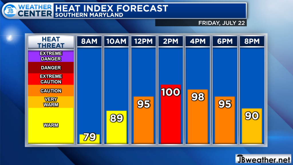
The hottest stretch will likely be early this afternoon, where heat indices are likely to max out near 100. This will be a smidge “cooler” than yesterday as we will “only” have dewpoint in the upper 60s and not the lower to middle 70s. Regardless, it will still feel quite oppressive out there.

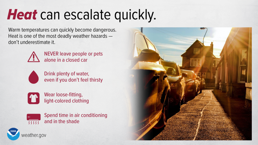
We are only in the middle parts of this heat wave, and you want to make sure that you are taking this heat seriously. Temperatures are likely to be in the middle to upper 90s throughout the weekend, with the humidity remaining oppressive. You want to ensure that you are drinking plenty of water, trying to stay cool, and be mindful of your activity outside as well as the activity of vulnerable groups and your pets.
Stay with JB Weather for the latest information on Southern Maryland weather. You can always access my forecasts and updates here on the website, on Facebook, on Twitter, on Instagram, and on YouTube.
-JB

Chesapeake’s Bounty is providing our community farm-fresh foods from the Chesapeake Bay region. Local seafood, produce, meats, dairy and more! Locations in Saint Leonard and North Beach. Make sure to stop by and also check out www.chesapeakesbounty.com

