Before we get to any talk of the weekend snow potential, a bitterly cold night is ahead! Clear skies and gusty northwest winds allow wind chills to plunge by Tuesday morning.
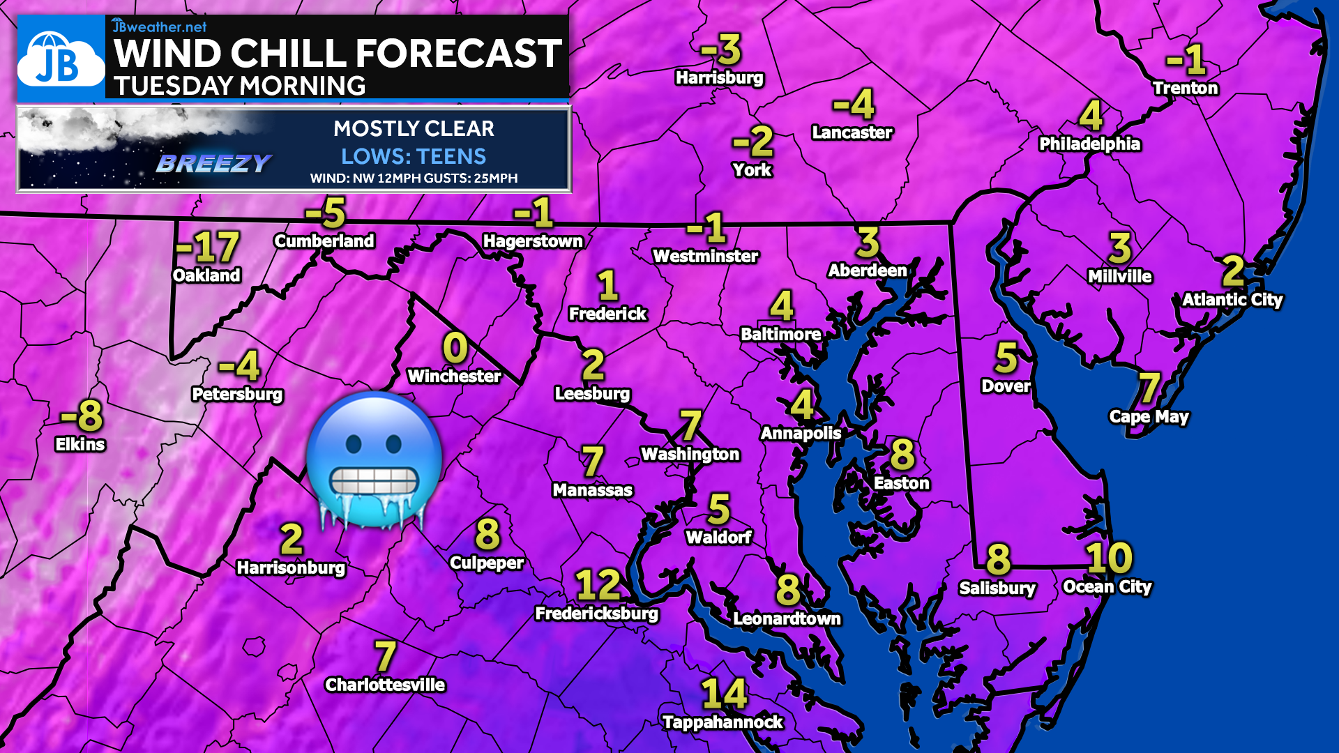
Many locations will wake up to wind chills in the single digits, with several spots north and west of I-95 dropping below zero. Winds gusting up to 25 mph will make it feel especially harsh, even where actual temperatures settle in the teens. Bundle up if you’re heading out early, and be sure to bring pets inside and protect exposed skin!
Stay with JB Weather for the latest information on impacts here in Southern Maryland and across the Mid-Atlantic. You can always access my forecasts and updates here on the website, on Facebook, on Twitter, on Instagram, and on YouTube. JB Weather is the Mid-Atlantic’s Weather Leader, and I am working around the clock to keep you ahead of any storm!
John Bordash
View More PostsJB Weather forecaster John Bordash is working around the clock to provide Southern Maryland, and neighboring communities, with accurate and reliable weather information.