Brought to you by OakPoint Insurance
Today has quickly turned into a hot and humid day across the region. At noon, the temperature in Leonardtown is already at 90° with a stifling dewpoint of 75°, sending the heat index up to 100°! This is why Calvert and St. Mary’s County have been placed under a Heat Advisory through 7pm.
Not only will the heat and humidity this afternoon send heat indices up near 105°, but they will also work together to create atmospheric storm energy which could lead to severe weather as a cold front, finally, moves through.
Our latest run of Futurecast has stayed pretty consistent from what it was showing earlier this morning. A broken line of storms looks likely to form west of I-95 over the next couple of hours. This line of storms will move eastward, towards our region, by late afternoon as the cold front slowly inches eastward.
The thing to watch this afternoon is how many storms form as the cold front moves through. It seems pretty likely that we will have enough storm energy around to support strong storms. But how strong will that trigger point be, along the front, to allow storms to fire? Any storms that do fire could become strong pretty quickly.
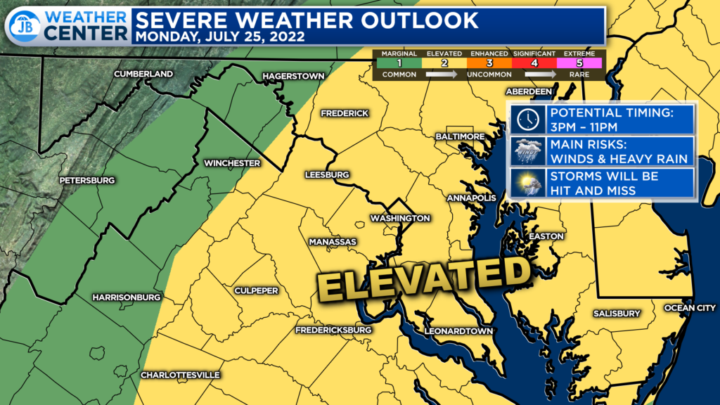
The Storm Prediction Center has placed much of our region under a Level 2 “Elevated Risk” of severe weather. This denotes a higher than normal risk of seeing thunderstorms, and several of them could turn severe. The primary time to watch for these storms will be anywhere between 3-11pm. The greatest severe risk will be east of the Mountains, where the highest levels of storm energy will be.
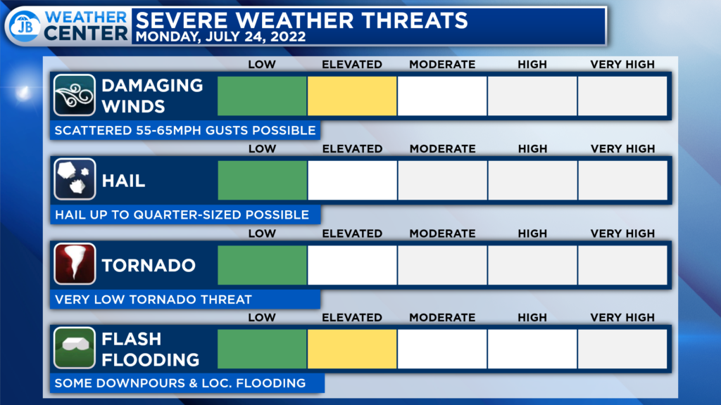
The primary severe risks with any storms that develop will come from damaging winds and the risk of localized flash flooding. Some storms could produce winds up to 65mph with heavy rain. A couple of storms may also produce up to 1″ hail. Thankfully the tornado threat is low today, but it is not zero, so it is something to monitor as well.
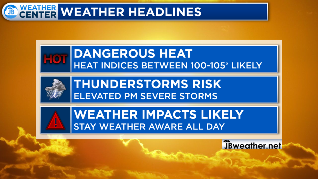
All-in-all, this afternoon and evening are likely to be impacted by the weather. In the very least, we are likely to see impacts from the heat and humidity. These two, alone, will make the potential of heat illnesses occurring higher than normal. So, you will want to take it easy, stay hydrated, and stay cool. However, the heat and humidity could also lead to strong storms as a cold front moves through between 3-11pm.
If you have outdoor plans this afternoon and evening, I would not cancel them. However, I would have water with you. And, I would recommend stay weather aware as hot and miss storms try to fire during the afternoon and evening hours. Have a Plan B ready to go, and be ready to act if quickly-changing weather conditions move overhead.
Stay with JB Weather for the latest information on Southern Maryland weather. You can always access my forecasts and updates here on the website, on Facebook, on Twitter, on Instagram, and on YouTube.
-JB

The premier insurance agency in Southern Maryland with three locations. We provide insurance for Home, Auto, Business, Farm, and Life. In partnership with many top insurers, we provide solutions to fit our client’s needs. Get in touch with us at 301-863-8100 to experience the difference, mention JB Weather to claim your free gift!
