Brought to you by Bill Oosterink, Realtor
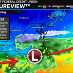
A developing system across the Southeast this weekend will remain suppressed too far south and too weak to bring meaningful impacts to the Mid-Atlantic. For a larger storm to have materialized, this southern system would have needed to phase with a northern clipper, but the clipper arrives too late, allowing the southern low to slide harmlessly out to sea.
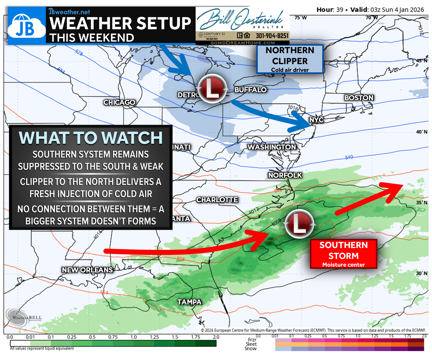
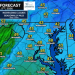
That said, the clipper will still deliver a fresh injection of cold air to the Northeast, keeping temperatures locked in the 30s through the weekend. A few locations, especially north of D.C., may squeeze out brief flurries Saturday night as the clipper passes, but no accumulation is expected.
A warmer pattern begins to take shape heading into mid-next week!
Stay with JB Weather for the latest information on impacts here in Southern Maryland and across the Mid-Atlantic. You can always access my forecasts and updates here on the website, on Facebook, on Twitter, on Instagram, and on YouTube. JB Weather is the Mid-Atlantic’s Weather Leader, and I am working around the clock to keep you ahead of any storm!
Brought to you by Bill Oosterink, Realtor. Buying. Selling. Investing. Ready when you’re ready! Check out www.somdDreamHome.com today!
John Bordash
View More PostsJB Weather forecaster John Bordash is working around the clock to provide Southern Maryland, and neighboring communities, with accurate and reliable weather information.