Brought to you by Chesapeake Ice
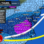
We have a dynamic weather day on tap as a complex system moves through. We are starting the day with some scattered showers and patchy fog. Southerly flow should allow a warm up ahead of our cold front. A rumble of thunder is possible with the frontal passage before cold winds take hold.

Our Cedar Point Federal Credit Union Futureview model shows the timing of today’s rain. The window between 11am and 2/3pm looks to be prime to see rain push through before we clear out this evening.
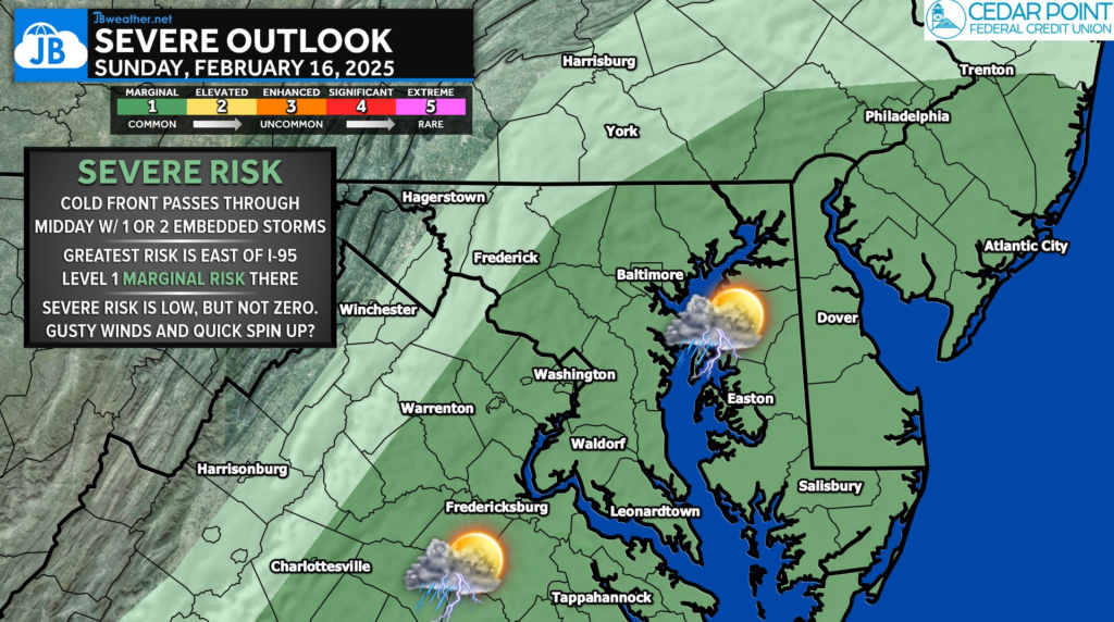
Our cold front will look to pass through around lunchtime today. As it does so, a line of heavy rain with some embedded thunderstorms will be possible. Gusty winds, heavy rain, and even a quick spin up are possible. We have a low-end Level 1 “Marginal Risk” of severe weather east of I-95.
High Wind WARNINGS have been issued for much of the Mid-Atlantic today. We could see winds gust as high as 50-60mph behind the midday cold front. Power outages and downed limbs are possible this afternoon.

Stay with JB Weather for the latest information on impacts here in Southern Maryland and across the Mid-Atlantic. You can always access my forecasts and updates here on the website, on Facebook, on Twitter, on Instagram, and on YouTube. JB Weather is the Mid-Atlantic’s Weather Leader, and I am working around the clock to keep you ahead of any storm!
Chesapeake Ice is your local Ice Distributor and Manufacture for Southern Maryland. Please contact us now for your summertime Ice and Canned Artisan Water needs. Please check out our Facebook and website (chesapeakeice.net)
John Bordash
View More PostsJB Weather forecaster John Bordash is working around the clock to provide Southern Maryland, and neighboring communities, with accurate and reliable weather information.