Brought to you by Cedar Point Federal Credit Union
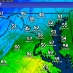
After having temperatures max out in the middle 70s yesterday, highs today will but nearly in half as colder air settled in overnight! Much of the region will be stuck in the 30s and lower 40s today with passing rain and sleet showers. Talk about a change from Spring right back to Winter!
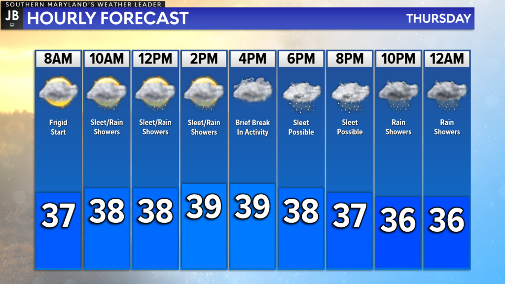
Temperatures will not move around much today, thanks to the thick cloud cover. We are starting the morning off in the middle to upper 30s, which is right around where we’ll stay for much of the day. We will see a couple of waves of precip work through the region today.
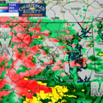
Our Chesapeake’s Bounty Futurecast is doing a great job of depicting how the precip will likely move through the region today. We could see passing rain and sleet showers between 8/9am until 3/4pm, before a brief break in the action. The secondary push of moisture moves in after sunset tonight.
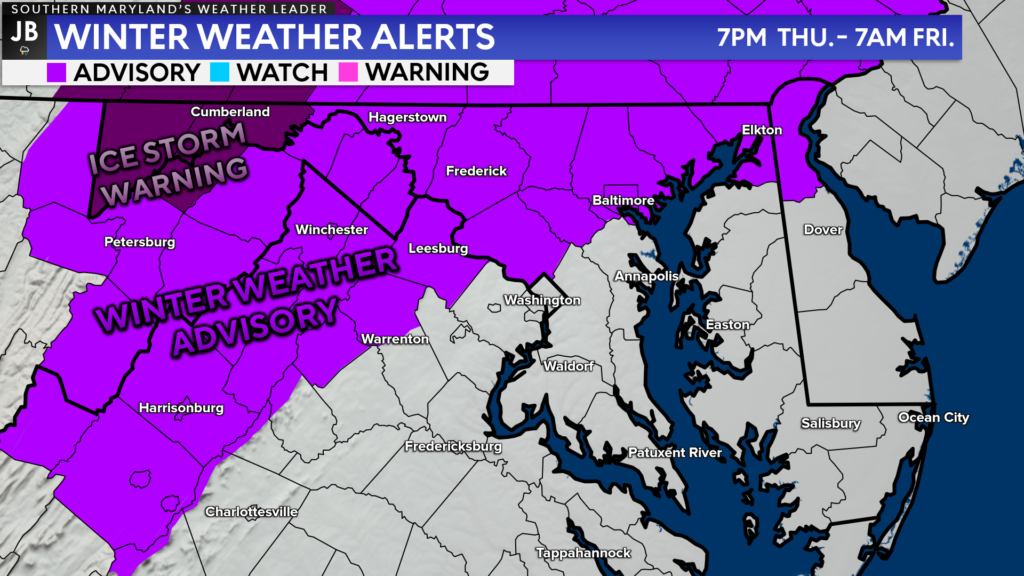
Locally, our region does not have any winter weather alerts in effect. However, there is a Winter Weather Advisory for the areas shaded in the light purple for this evening. This is where some ice impacts could be felt tonight. A much more impactful Ice Storm Warning is in effect in the dark purple areas in the mountains for higher ice totals.
I think this orientation of the alerts really does display where the highest impacts will be throughout the day, and into tonight. Very limited impacts will be felt southeast of DC.
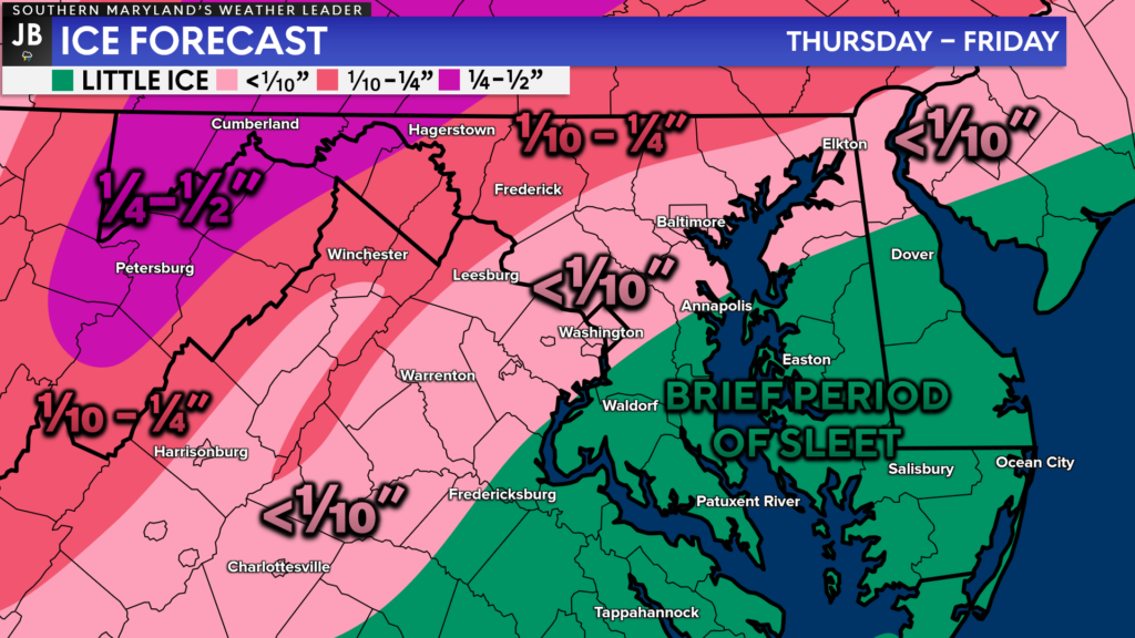
While some brief periods of sleet are possible in our region, I do not expect much accumulation. Today’s sleet showers are not likely to be heavy, and warm ground temps will limit accumulation. This evening, warmer air in the upper levels will help transition any precip over to rain.
Areas to the northwest of I-95 could see a glaze of ice on colder surfaces. The highest ice totals will be found in those mountain communities, where prolonged icing is possible overnight.
Travel and school impacts will be very low in our local area. I would not expect widespread issues today or tomorrow. With that said, some slick spots could be possible on secondary and back roads tonight for a couple of communities, likely north of La Plata and Prince Frederick.
Stay with JB Weather for the latest information on Southern Maryland weather. You can always access my forecasts and updates here on the website, on Facebook, on Twitter, and on YouTube.
-JB

Cedar Point has been providing trusted banking, lending and personal finance solutions to the Southern Maryland Community since 1945. Visit the credit union at any of its 6 locations in St. Mary’s, Charles and Calvert counties or online at www.cpfcu.com.
