Brought to you by Cedar Point Federal Credit Union
So far, April has offered quite the swings when it comes to our weather. After a warm end to last week, we have seen yet another blast of cold air settle into our region. This blast of cold air will look to stick around for another day, bringing our region below-average temperatures.
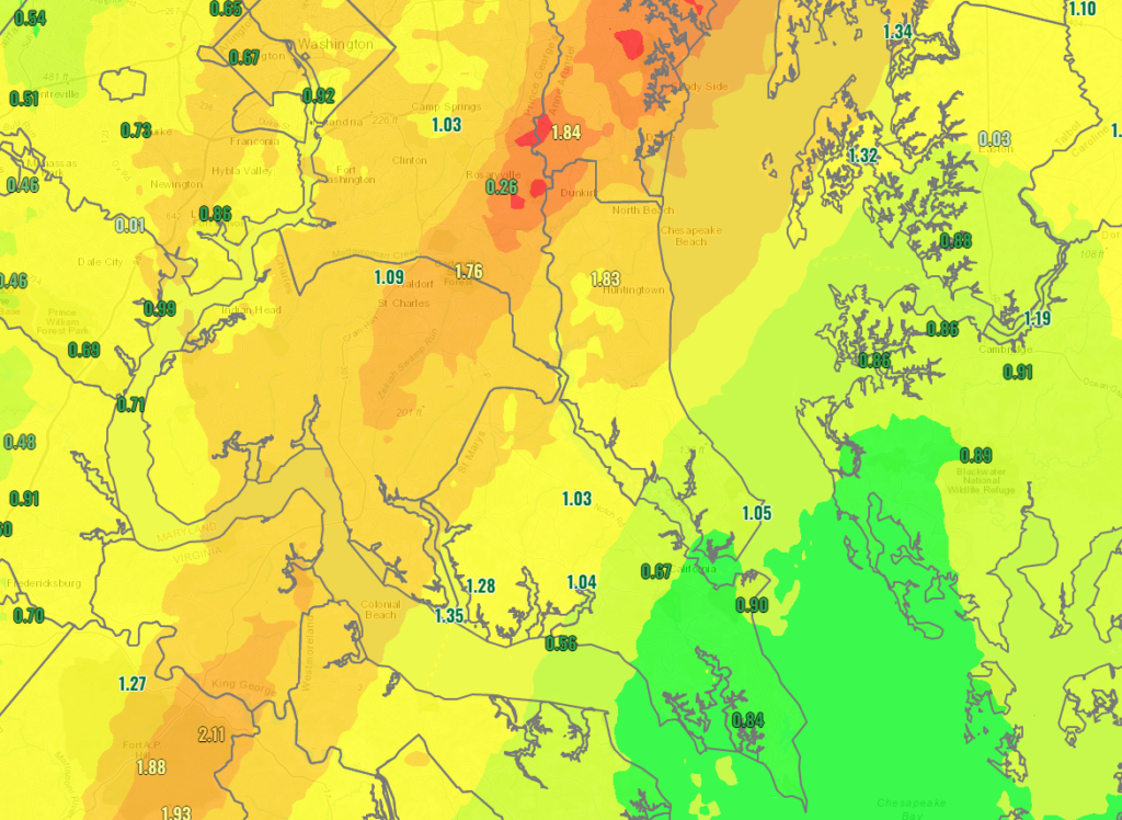
Yesterday, this cold air come with a healthy bit of rain too. Many locations east of I-95 saw 1-2″ of rain fall! Some spots on the Northern Neck and on the Delmarva saw more than 2″ of rain while spots out in the mountains saw 2-5″+ of snow! This all came as a coastal system developed to our south and moves up the coast.
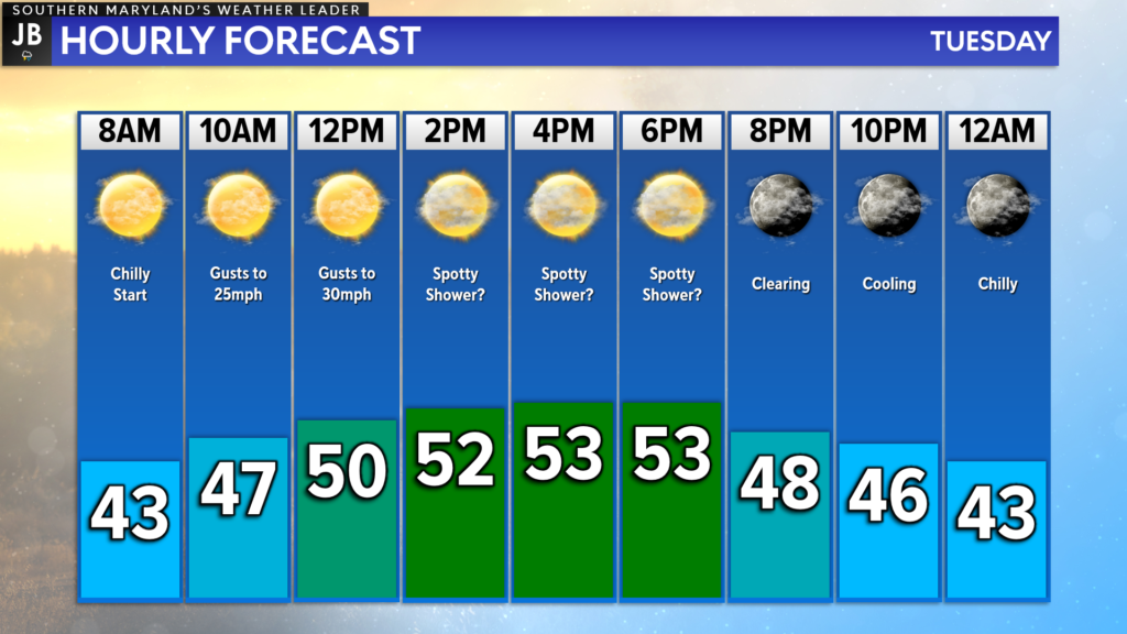
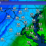
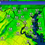
While we will not have widespread rain to deal with today, we will still have chilly temperatures and gusty winds to contend with. We are off to a cool start with temps in the 30s/40s, and temps will be slow to climb today. Many spots likely only max out in the lower to middle 50s.
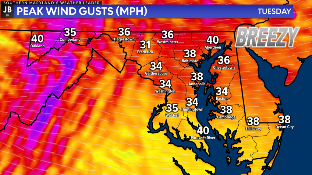
The winds will also be a big factor today. As yesterday’s coastal continues to move up the coast, we will see the westerly winds on the backside of the system continue to race! Winds could gust as high as 35-40mph in some spots! After yesterday’s deluge of rain, and the continued gusty winds, we could see some tree damage and some isolated outages today. We should see winds diminish after sunset this evening.
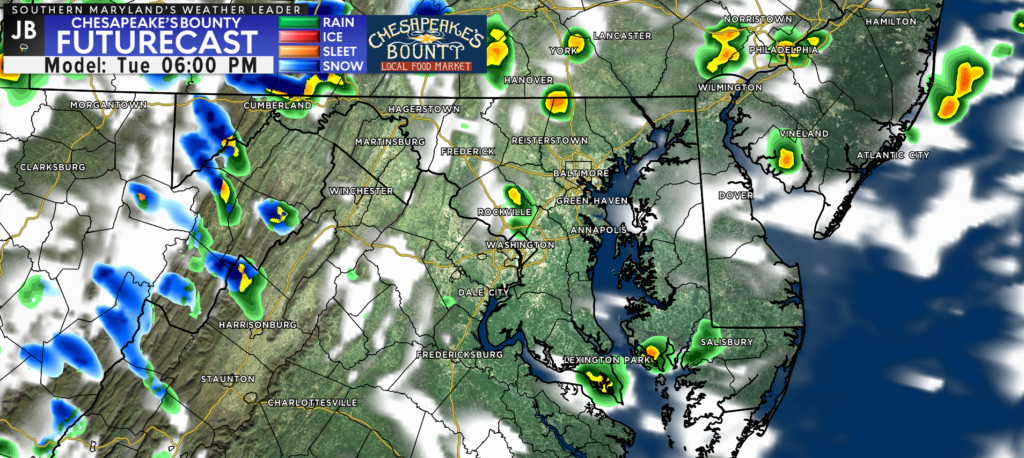
While widespread rain is not likely today, we could see 1 or 2 spotty showers develop this afternoon. Any showers are likely to be quick-hitting, lasting only 15-20 minutes. Not everyone will see these today. However, they could pack a little bit of a punch with the threat of graupel. Yes, we are once again talking about the chance of graupel!

Graupel is a type of precipitation that falls in the winter when conditions are just right. How graupel forms is quite interesting. Precipitation always begins as snow up in the clouds, even during the summer. That snow then falls through a layer of supercooled water droplets. That means temperatures are below freezing in this layer of air, but water stays in liquid form and hasn’t frozen. These tiny rain droplets freeze, or rime, onto the snowflake. This forms a coating around the snowflake, resulting in the white pellets that resemble small hail. But unlike hail, they are soft and crushable. The outer layer of rim helps protect the wet snowflakes from the warming temperatures that it encounters at the lower levels of the atmosphere.
The cold air in the upper levels of the atmosphere that has set up behind the coastal system is what may allow for this graupel to form! With that said, accumulations and slick roads are not likely today.
Stay with JB Weather for the latest information on Southern Maryland weather. You can always access my forecasts and updates here on the website, on Facebook, on Twitter, on Instagram, and on YouTube.
-JB

Cedar Point has been providing trusted banking, lending and personal finance solutions to the Southern Maryland Community since 1945. Visit the credit union at any of its 6 locations in St. Mary’s, Charles and Calvert counties or online at www.cpfcu.com.
