Brought to you by G&H Jewelers, Inc.

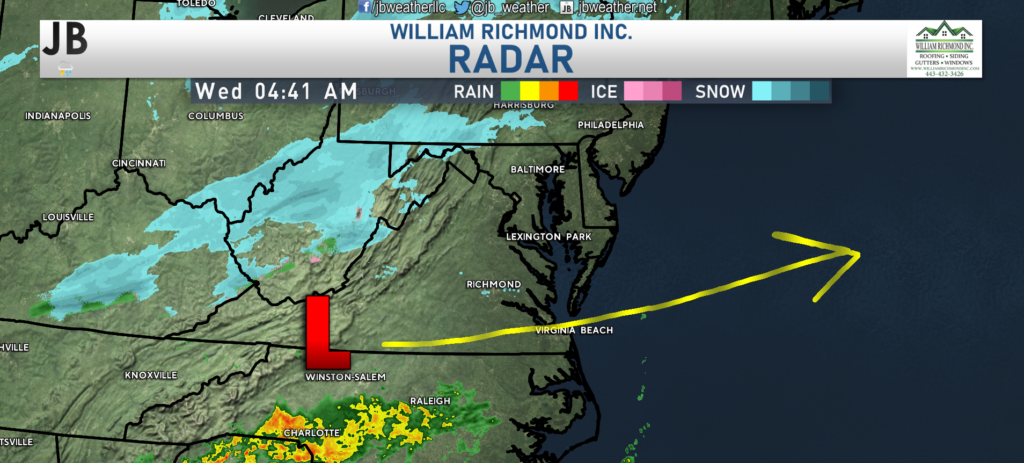
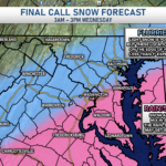
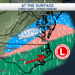
We are off to a seasonally cool start this morning with snow showers to our west, across West Virginia. As our area of low pressure passes to our south and heads out to sea, we may see a few hours of a rain/snow mix across the region. In Southern Maryland, temperatures will remain above freezing throughout this event. As a result, any snow that does mix in will have a hard time accumulating. At most, a couple of communities may get a think dusting of snow on colder surfaces (such as car tops and decks). Our Chesapeake’s Bounty Futurecast, shown below, does a decent job of highlighting this timeline.
Any precip will look to move out around lunchtime, or during the early afternoon hours. I wouldn’t expect any impact on the evening commute from this. Temperatures will only max out in the upper 30s to lower to mid-40s this afternoon. We will see some clearing by late afternoon. Winds look to remain light today, only get sustained between 5-10mph out of the east.
Stay with JB Weather for the latest information on Southern Maryland weather. You can always access my forecasts and updates here on the website, on Facebook, on Twitter, and on YouTube.
-JB

Shop G&H Jewelers Today for Loose Diamonds, Fine Diamond & Colored Gemstone Jewelry, On-site Custom Jewelry Design (CAD) & Manufacturing, Jewelry Repair and GIA Graduate Gemologist Appraisal Services. Third Generation Family Owned & Operated Since 1965.

