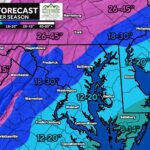
Snow chatter on Thanksgiving? Believe it or not, our first winter storm signal of the season is showing up for Tuesday into Wednesday, and it’s worth keeping an eye on — even with several days to go and plenty of uncertainty still on the table. This setup may end up favoring areas north and west of I-95, where early-December cold tends to hold on a bit better.
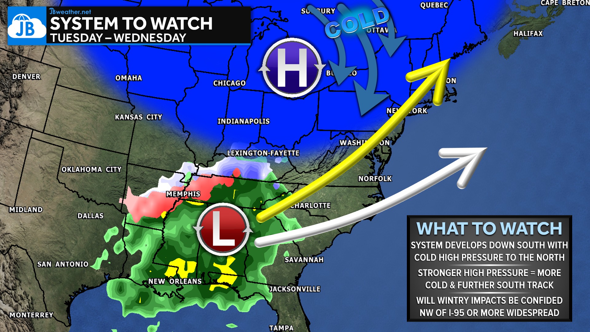
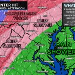
Getting accumulating snow this early in the Mid-Atlantic is always a challenge, but several of our more reliable forecast models continue to show a strong pocket of cold high pressure to the north. If that high stays firm, it could supply just enough cold air for a wintry mix or even snow, especially for inland communities. A stronger high would also nudge the storm track a bit farther south, enhancing wintry potential. On the flip side, if the high weakens or pulls away, the cold air erodes quickly — leading to a mainly cold, soaking rain for most areas.
We’re still five days out, which means details surrounding precipitation type, storm track, and timing will shift as the weekend progresses. What we can say is that this pattern is at least supportive of early-season wintry weather — something we don’t see every year. For now, this looks like a setup that may favor inland locations, but confidence on specifics remains low.
As always, avoid the hype and keep it locked with JB Weather. I’ll continue to track trends closely and bring updates as confidence grows and the forecast sharpens heading into early next week.
John Bordash
View More PostsJB Weather forecaster John Bordash is working around the clock to provide Southern Maryland, and neighboring communities, with accurate and reliable weather information.