Brought to you by Bill Oosterink, Realtor
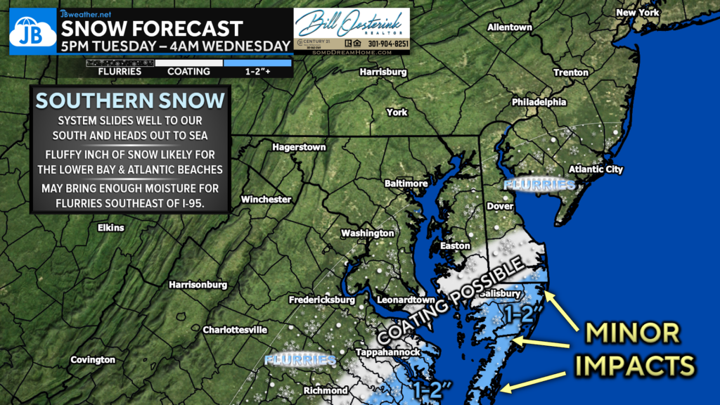
A system will slide off the southeast coast and head out to sea. While big snow is NOT expected locally, our Atlantic Beaches and Tidewater Virginia could pick up 1-2″ of #snow tonight. Flurries are possible in Southern MD with no more than a light coating in southern zones.

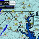
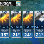
I would anticipate very little in the way of impacts outside of the blue zone. The sub-zero wind chills will bring the bigger impact for Wednesday morning.
Stay with JB Weather for the latest information on impacts here in Southern Maryland and across the Mid-Atlantic. You can always access my forecasts and updates here on the website, on Facebook, on Twitter, on Instagram, and on YouTube. JB Weather is the Mid-Atlantic’s Weather Leader, and I am working around the clock to keep you ahead of any storm!

Buying. Selling. Investing. Ready when you’re ready! Check out www.somdDreamHome.com today!

