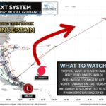
It is increasingly likely that Tropical Storm Imelda will form near the Bahamas later today. Over the next 3–4 days, forecast guidance shows Imelda gradually lifting northward and potentially strengthening—possibly even reaching hurricane intensity as she approaches warmer waters and favorable environmental conditions. Most model solutions now show a path toward the Southeast U.S. coast early next week, raising confidence that some form of impact will occur. However, a small cluster of models still curve Imelda out to sea, so this remains a forecast that requires close monitoring.
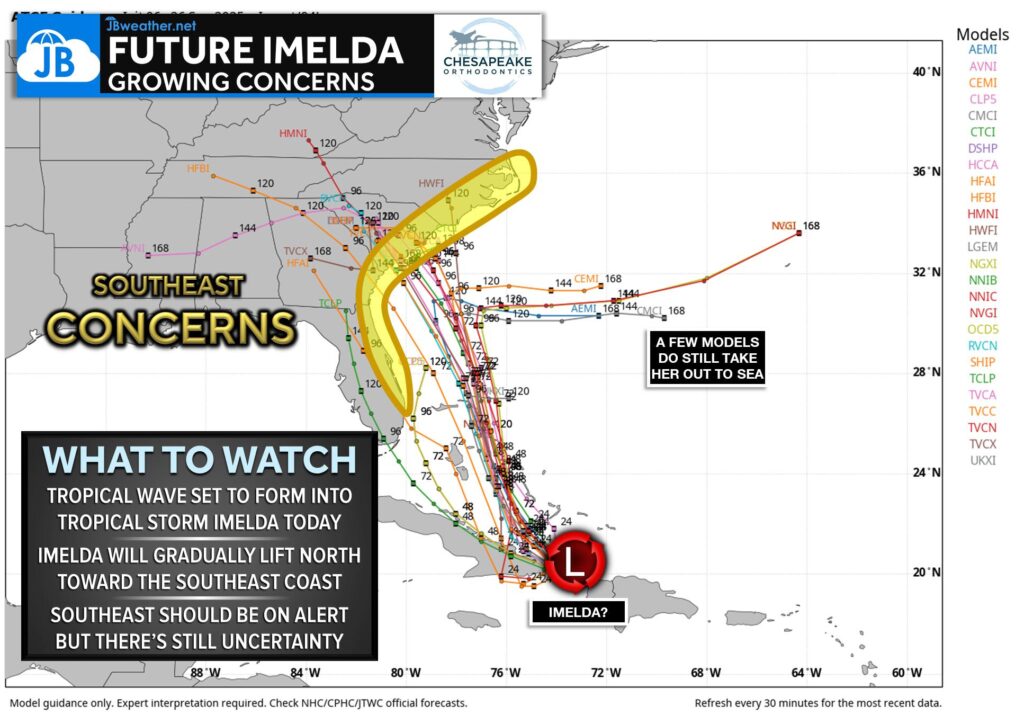
Given the growing consensus, residents along the Southeast coastline should be on alert for potential tropical impacts Monday through Wednesday. The exact track will determine how strong Imelda becomes and where landfall might occur, but the window for meaningful changes to the forecast is narrowing. Interests from Florida to the Carolinas should continue checking for updates and be ready to adjust plans as the storm organizes.
Depending on where Imelda comes ashore—and how quickly she moves inland—rain and wind impacts may extend farther north into the Mid-Atlantic. Confidence is still lower on how far north those impacts may reach, but it is something to keep on the radar here at home. For now, the key message: Imelda is likely to form today, and the threat to the Southeast is increasing. I’ll continue tracking the latest data and will update you as the picture becomes clearer.
John Bordash
View More PostsJB Weather forecaster John Bordash is working around the clock to provide Southern Maryland, and neighboring communities, with accurate and reliable weather information.