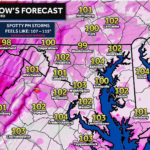
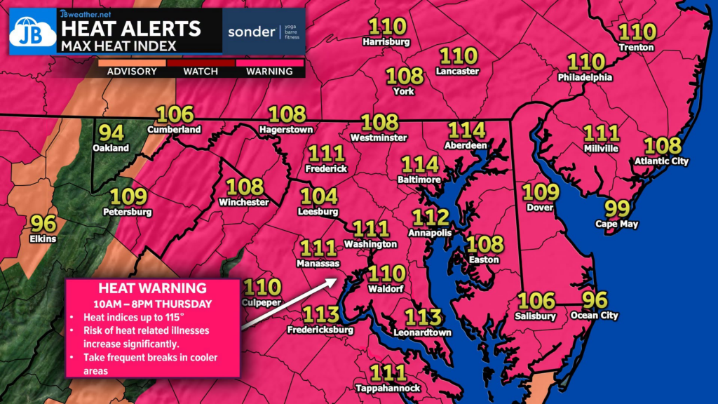
The most dangerous stretch of this heat wave begins today as an Extreme Heat Warning is in effect from 10 AM to 8 PM for much of the region. Temperatures will climb into the upper 90s and lower 100s, but it won’t just be the air temperature you’ll notice. High humidity will push heat index values between 110° and 115°, making it feel dangerously hot during the afternoon.
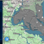
Today’s weather will remain dry with plenty of sunshine, as the strong heat dome suppresses thunderstorm development. Unfortunately, that also means there’s very little to provide relief from the intense afternoon heat.
This dangerous pattern continues into Friday, when another Extreme Heat Warning is already in effect. While the heat is expected to linger into the holiday weekend, increasing thunderstorm chances may eventually help break down the heat. Some of those storms could become strong to severe, especially Saturday into Independence Day.
Unlike the upcoming holiday weekend, no thunderstorms are expected today, allowing the heat to build unchecked under mostly sunny skies. This dangerous heat will continue into Friday, with another Extreme Heat Warning already in effect.
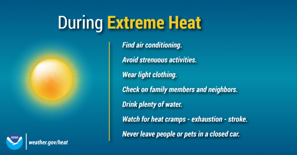
Heat Safety
💧 Drink plenty of water throughout the day.
🏠 Take frequent breaks in air-conditioned buildings.
👕 Wear lightweight, light-colored clothing.
🚗 Never leave children or pets in a parked vehicle—even for a few minutes.
👵 Check on elderly neighbors, friends, and family members.
This is not your typical summer heat. Heat index values of 110° to 115° can quickly lead to heat-related illnesses, even in otherwise healthy individuals. If you have outdoor plans today, take frequent breaks, know the signs of heat exhaustion and heat stroke, and avoid prolonged exposure during the afternoon. Stay cool, stay hydrated, and continue to follow JB Weather for updates as this dangerous heat wave continues.
Stay with JB Weather for the latest information on impacts here in Southern Maryland and across the Mid-Atlantic. You can always access my forecasts and updates here on the website, on Facebook, on Twitter, on Instagram, and on YouTube. JB Weather is the Mid-Atlantic’s Weather Leader, and I am working around the clock to keep you ahead of any storm!
John Bordash
View More PostsJB Weather forecaster John Bordash is working around the clock to provide Southern Maryland, and neighboring communities, with accurate and reliable weather information.