Our region’s first Winter Storm is set to impact the region Sunday night into Monday! With impactful snow likely to occur, the National Weather Service has issued a series of Winter Weather alerts!
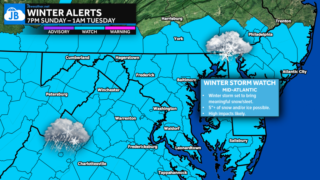
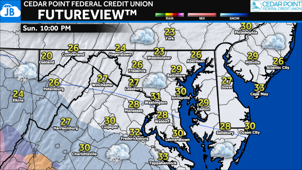
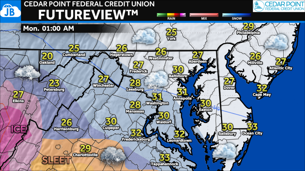
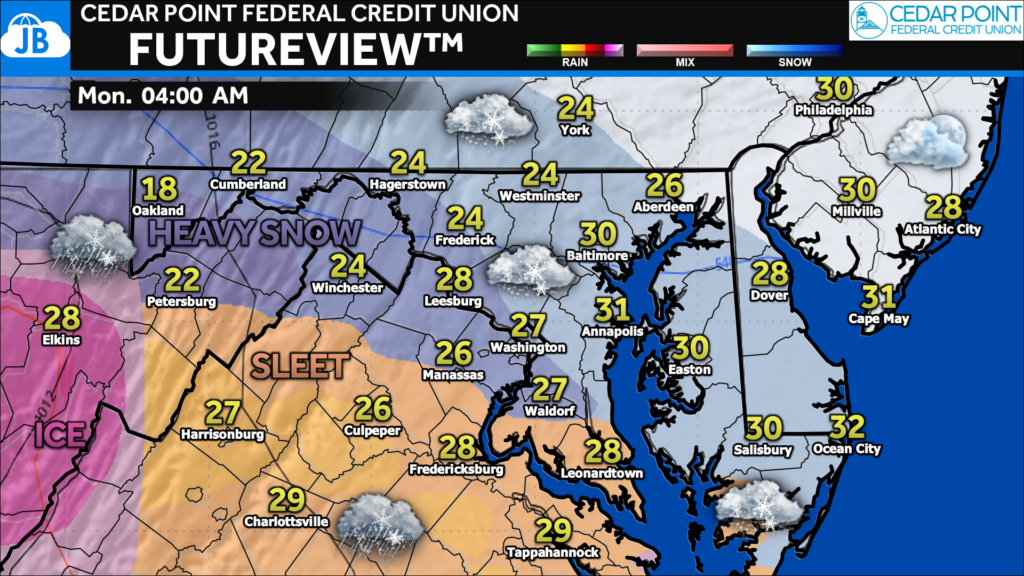
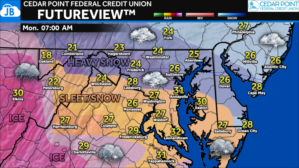
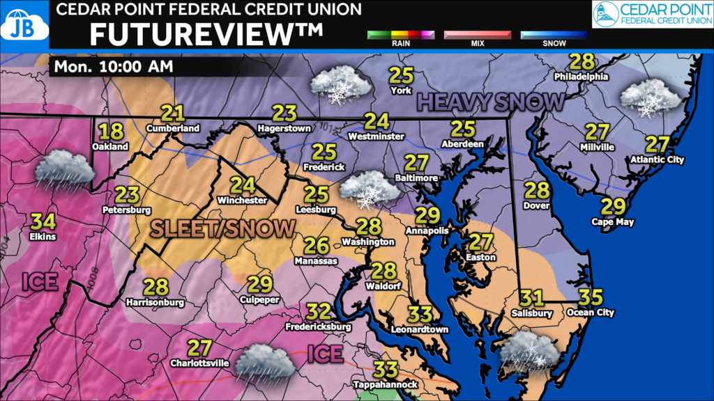
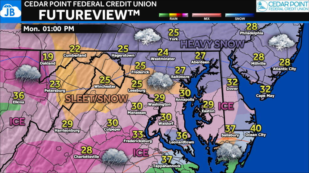
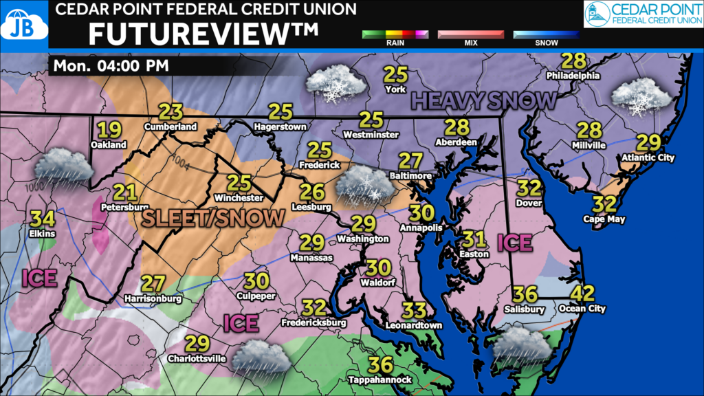
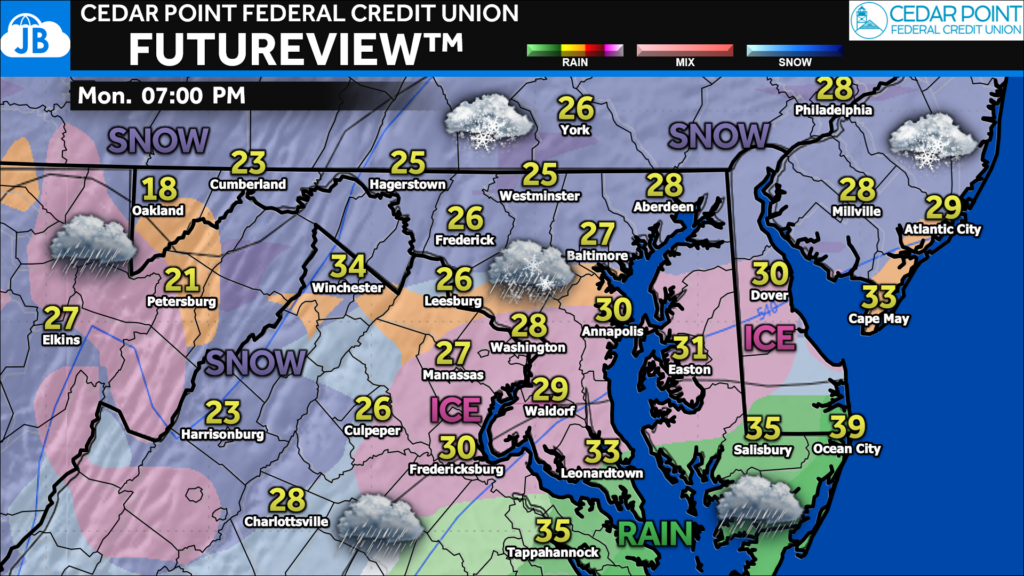
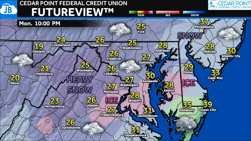
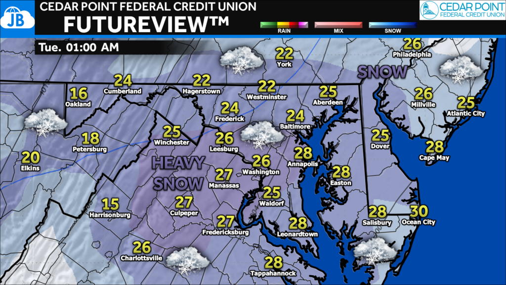
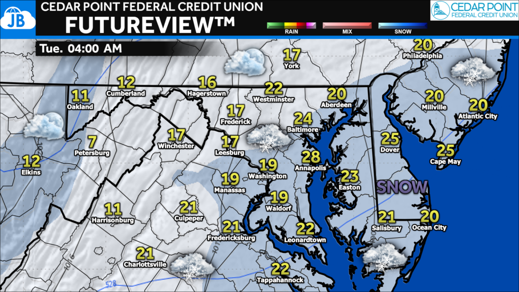
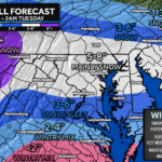
A Winter Storm Watch (shaded in blue) has been issued for much of the region from 9pm Sunday until 5am Monday. Accumulating snow is likely Monday, with impacts looking to linger into Friday morning. A look at Futureview is shown below.
This watch is for snow totals that may potentially near/exceed 5″. The watch also highlights the potential of some sleet and freezing rain for southern counties.
Other National Weather Services may issue additional Winter Storm Watches for surrounding areas.
You can view my latest forecast, including my first call snow projection, the timing of the snow event, and potential impacts, by checking out the linked article below!
Below is my video summary published Friday night, where I talk through the forecast!
Stay with JB Weather for the latest information on impacts here in Southern Maryland and across the Mid-Atlantic. You can always access my forecasts and updates here on the website, on Facebook, on Twitter, on Instagram, and on YouTube. JB Weather is the Mid-Atlantic’s Weather Leader, and I am working around the clock to keep you ahead of any storm!
1 thought on “BREAKING: Winter Storm Watch Issued for the Mid-Atlantic”
Comments are closed.

[…] Source link […]