Hurricane Erin remains a strong storm this evening, sitting several hundred miles off the Carolina coastline. While Erin will move out to sea by tomorrow, the storm is close enough that we will feel indirect impacts across Southern Maryland and the surrounding bayside communities. No direct tropical effects are expected here, but the storm will enhance our onshore flow through Thursday.
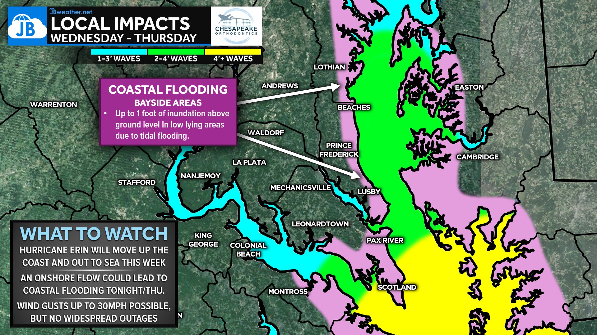
That persistent easterly breeze will help push water into the Chesapeake Bay and the western shore inlets. As a result, coastal flooding is likely, especially in the typical low-lying bayside areas from Lusby up through Prince Frederick and into Anne Arundel County. Water levels may rise up to 1 foot above ground level in the most vulnerable spots. If you live along the water, plan for minor tidal overflow during high tide cycles.
Wave heights will also increase, especially along open-water stretches of the Bay and the Potomac. Expect 2–4 foot waves, with locally higher sets possible near the mouth of the Bay. This may impact boaters, marinas, and anyone with property near the shore. Winds will run 15–30 mph at times Thursday, but these are not strong enough to cause widespread outages or damage. The good news: rainfall will be very limited, and this is not a soaking storm for our area.
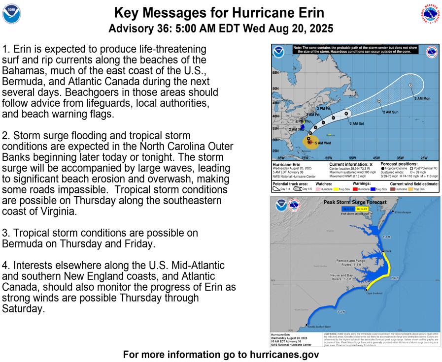
Meanwhile, locations to our south—including the Outer Banks and Virginia Beach—are feeling more direct tropical effects. Tropical Storm Warnings are in effect there for 30–45 mph winds and periods of rain. Here at home, though, impacts remain low and manageable. We’ll continue to monitor the tidal flooding risk and update as needed.
John Bordash
View More PostsJB Weather forecaster John Bordash is working around the clock to provide Southern Maryland, and neighboring communities, with accurate and reliable weather information.