Brought to you by Calvert Title Company
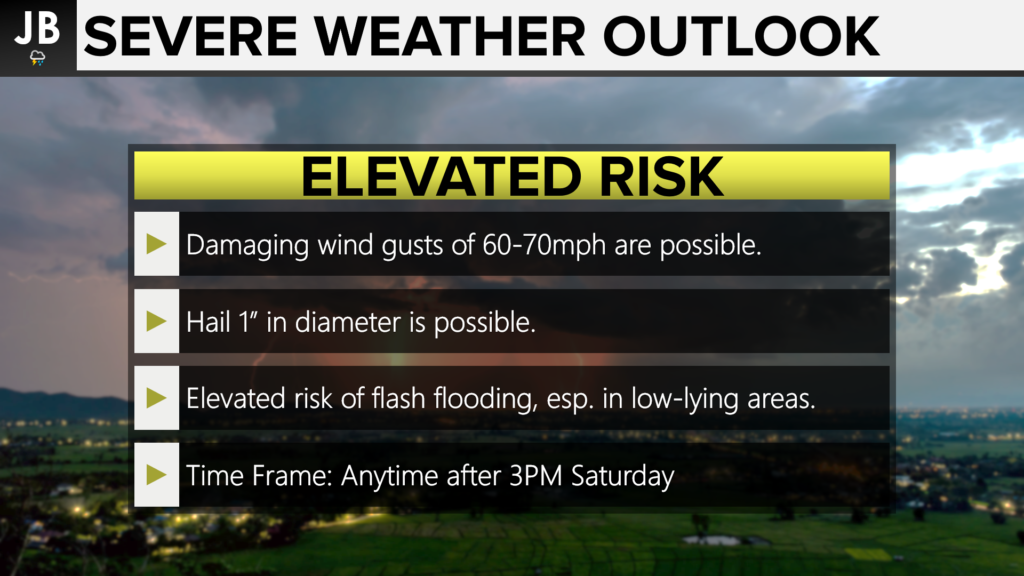
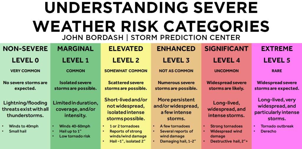
Here we go again, parts of our region have been upgraded to an Elevated risk of severe weather for this afternoon and evening. Today’s risk focuses on southern parts of our area down through the Northern Neck and Central Virginia. The primary risk with storms today will be the potential of damaging wind gusts up to 60-70mph and flash flooding. There is also a secondary threat of some hail with storms that get strong enough. Frequent lightning will also be a concern today, as it was last night.
The incoming cold front will help to serve as a forcing mechanism today for storm development. This morning we have seen relatively clear skies across parts of our region, which is allowing temperatures to rapidly rise into the upper 80s and lower 90s. A very moist low-level air mass is also present, which will yield elevated thunderstorm energy values. Similar to yesterday, weak winds aloft should limit convective organization. However, disorganized multicell thunderstorms look likely to affect the region later today. The timing looks to be anytime after 3PM. Tonight, the loss of heating and passage of the shortwaves should result in dwindling coverage and intensity of showers and storms, but some precip likely lingers through the night as the surface boundary will probably not cross the region until later at night.
Our Chesapeake’s Bounty Futurecast shows this severe weather threat well.
Stay with JB Weather for the latest information on impacts here in Southern Maryland. You can always access my forecasts and updates here on the website, on Facebook, on Twitter, and on YouTube. JB Weather is Southern Maryland’s Weather Leader, and I am working around the clock to keep you ahead of the storm!
-JB

Brought to you by Calvert Title Company. Calvert Title Company is guiding you HOME one closing at a time! Check out https://www.facebook.com/calverttitle today!


