A developing area of low pressure moved across the mountains overnight, bringing a widespread soaking rain to the region. Some spots picked up around an inch of rain before sunrise, and the atmosphere remains unsettled as that system continues to push east. Additional rounds of rain are expected this morning and into the early afternoon, with some locations picking up up to another inch before showers taper later in the day.
As this next wave of rain moves onshore, a few embedded thunderstorms may develop. Most storms will be non-severe, but the environment does support a low-end tornado threat, especially near any stronger cells that can briefly rotate. Ponding of water on roads and localized flooding in poor drainage areas is also something to watch, given last night’s rainfall. The Storm Prediction Center has placed our region under a Level 1 – Marginal Risk for severe weather, meaning isolated issues are possible but widespread severe weather is not expected.
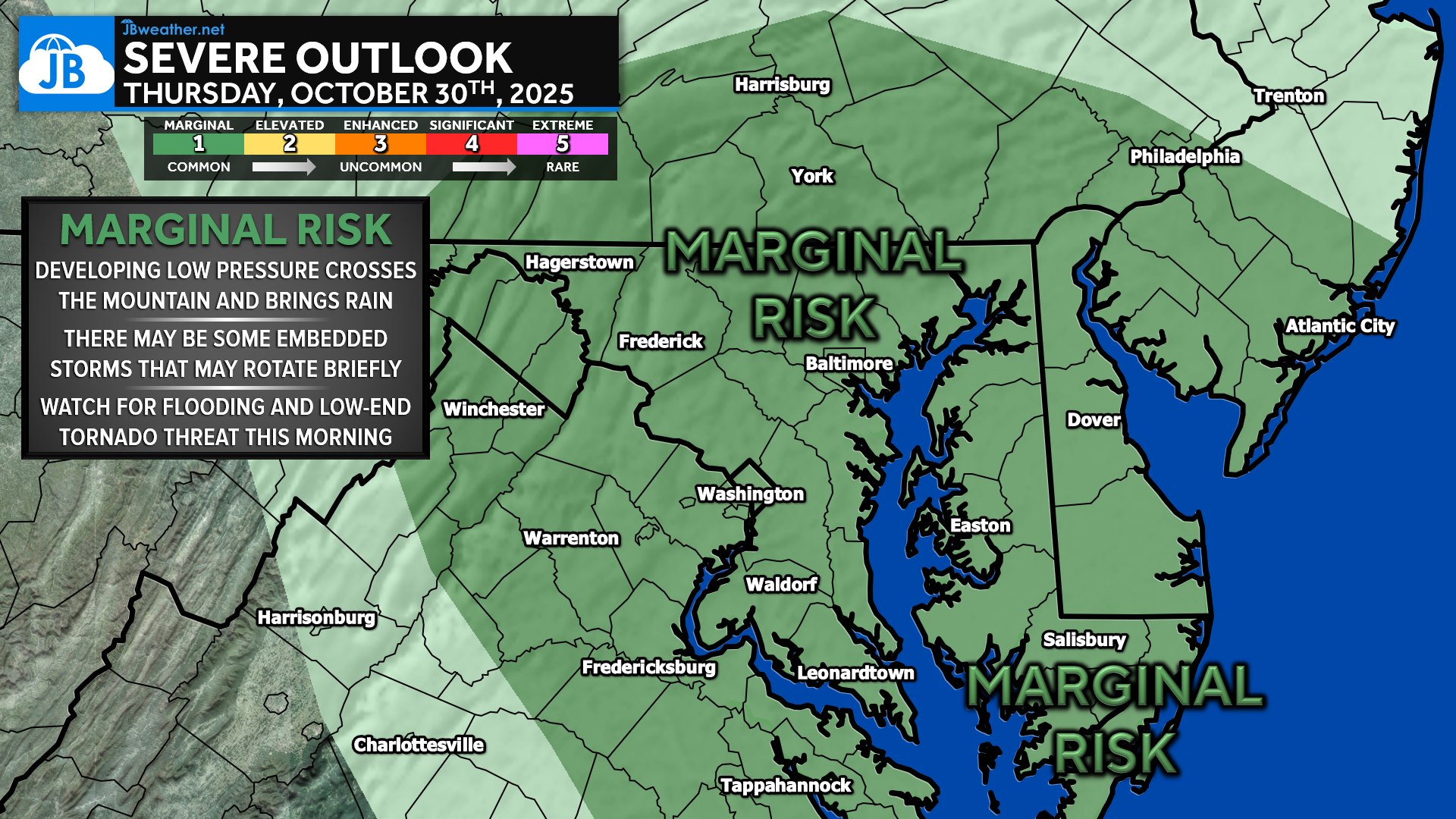
The biggest message today: stay weather-aware, especially through the midday hours, but there is no sign of a significant outbreak. As the low pulls away later this afternoon, conditions gradually improve, and cooler, calmer weather settles in for tonight and Friday.
John Bordash
View More PostsJB Weather forecaster John Bordash is working around the clock to provide Southern Maryland, and neighboring communities, with accurate and reliable weather information.