Brought to you by Cedar Point Federal Credit Union
This weekend featured some of the hottest and most humid conditions we have seen this Summer. Our mid-Summer heatwave will look to keep on going today as highs across the region will look to get into the lower to middle 90s! However, today will also feature a PM storm risk.
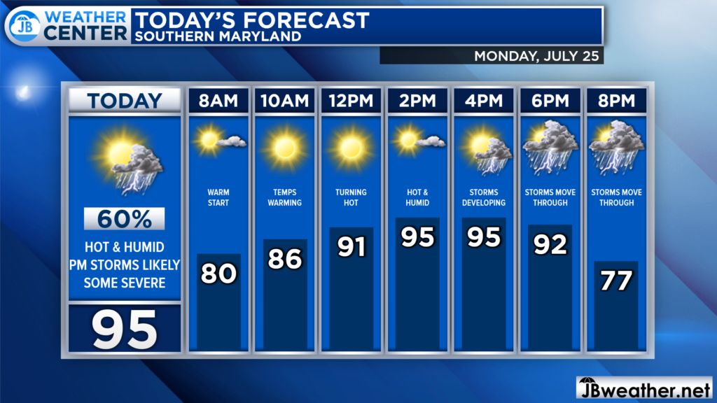
We are already off to a warm and humid start with temperatures this morning hanging around 80*! After sunrise, we will see these temperatures soar, likely getting into the 90s by early afternoon! Humidity levels will also be high. This combination may set us up for a stormy evening.
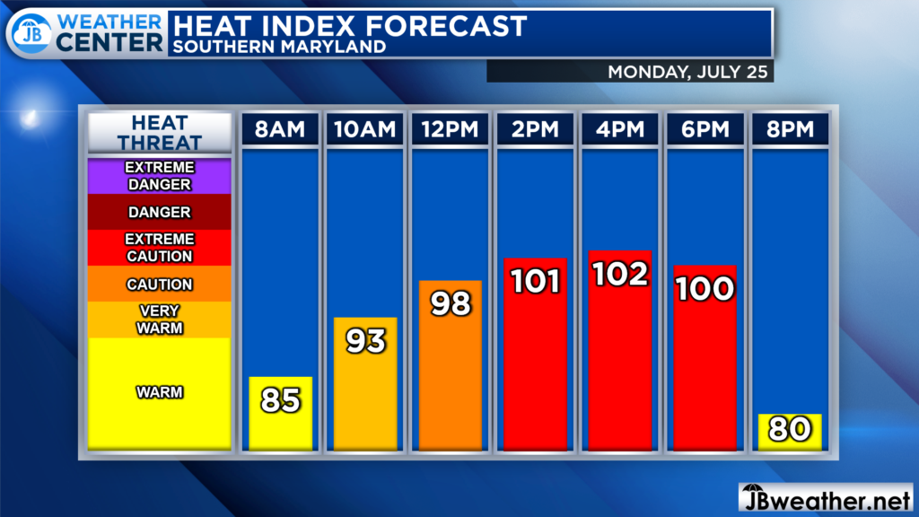
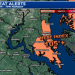
The heat and humidity combo will also allow for high heat indices! Feels like temperatures this afternoon are likely to get above 100 for yet another day! The hottest conditions will be from lunchtime through sunset, so you will want to take extreme caution. Hydrate, stay cool, and take frequent breaks if you’re going outside.
As mentioned, the heat and humidity will prime the atmosphere to potentially support severe storms this afternoon and evening. An incoming cold front will look to bring some relief to the region tomorrow. However, as it moves through, it will look to set off some scattered storms.
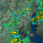
Futurecast shows storms looking to fire northwest of DC after lunchtime. As the front inches eastward, we will see these storms work towards I-95 and Southern MD as we get into the late afternoon and evening hours. With so much heat and humidity present, any storms that do fire could quickly turn strong. The question is, how many storms will develop?
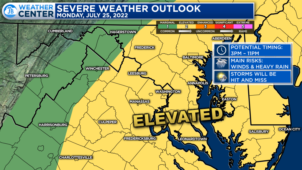
The Storm Prediction Center has placed much of our region under a Level 2 “Elevated Risk” of severe weather. This denotes a higher than normal risk of seeing thunderstorms, and several of them could turn severe. The primary time to watch for these storms will be anywhere between 3-11pm.
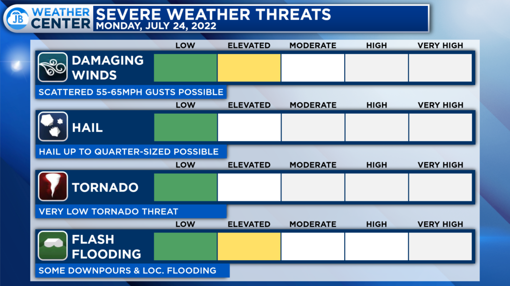
The primary severe risks with any storms that develop will come from damaging winds and the risk of localized flash flooding. Some storms could produce winds up to 65mph with heavy rain. A couple of storms may also produce up to 1″ hail. Thankfully the tornado threat is low today, but it is not zero, so it is something to monitor as well.
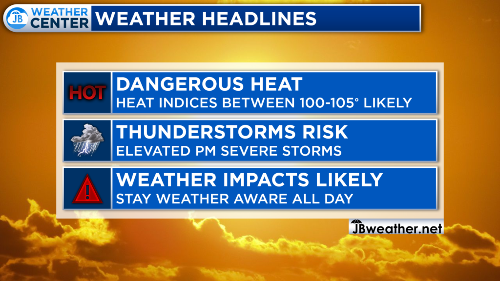
All-in-all, today is likely to be another high-impact weather day. We are likely to see another round of heat and humidity settle over the area. Heat indices are likely to get over 100* this afternoon, so you will want to take it easy. The heat and humidity will also prime the region for potential storms. This means that you will want to stay weather aware throughout the day.
If you have outdoor plans this afternoon and evening, I would not cancel them. However, I would have water with you. And, I would recommend stay weather aware as hot and miss storms try to fire during the afternoon and evening hours. Have a Plan B ready to go, and be ready to act if quickly-changing weather conditions move overhead.
Stay with JB Weather for the latest information on Southern Maryland weather. You can always access my forecasts and updates here on the website, on Facebook, on Twitter, on Instagram, and on YouTube.
-JB

Cedar Point has been providing trusted banking, lending and personal finance solutions to the Southern Maryland Community since 1945. Visit the credit union at any of its 6 locations in St. Mary’s, Charles and Calvert counties or online at www.cpfcu.com.
