We have a warm, increasingly humid air mass that has set up shop along the East Coast. This is ahead of an approaching cold front that will look to kick off scattered strong to severe thunderstorms across our northern areas of Pennsylvania, northern Maryland, New Jersey, southern New York, and nearby areas this afternoon and evening. These storms may struggle to make it down to southern Maryland today, but will likely do so tomorrow as the front continues to head south.
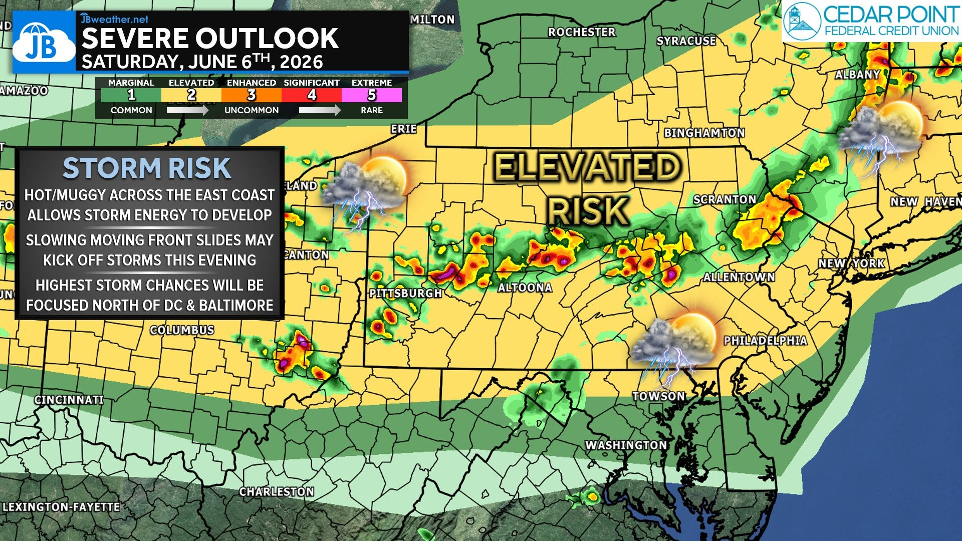
Any storm that develops in our northern communities could quickly become strong, with the greatest concern centered on damaging wind gusts capable of downing trees and power lines. Large hail is also possible, especially with any more isolated storms that form before storms organize into larger clusters.
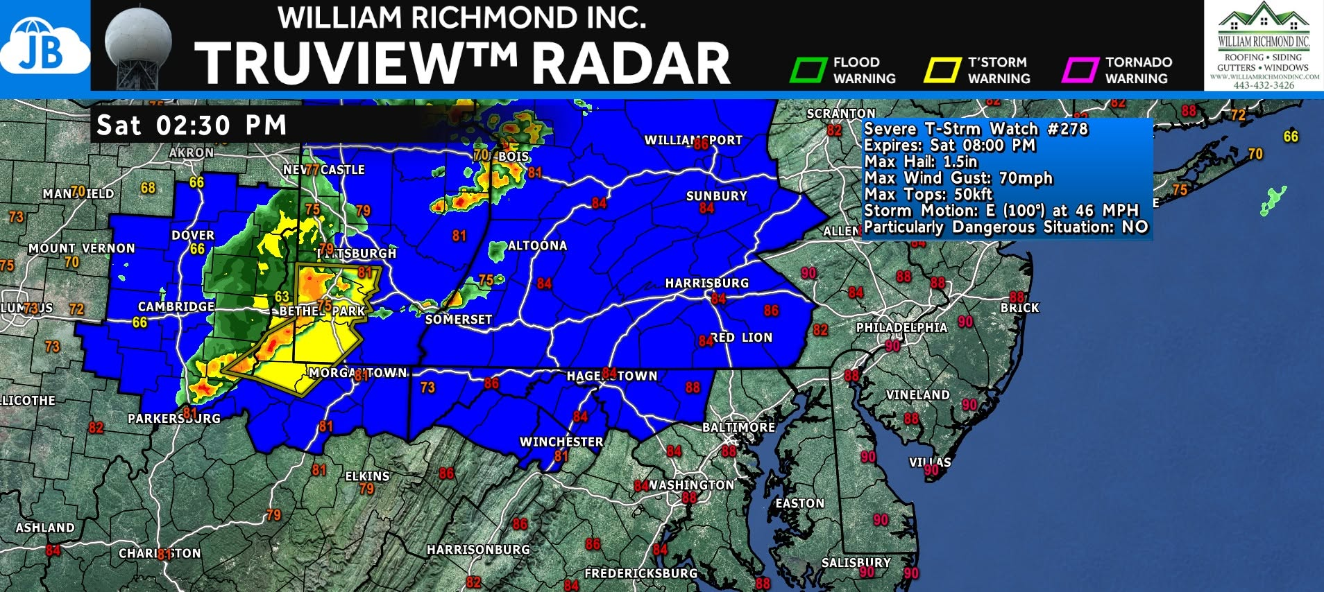
The highest risk to the north appears to be between 2 PM and 10 PM, though non-severe showers and thunderstorms may occur earlier in the day. Forecast confidence remains highest that damaging winds will be the primary hazard, and there is potential for a more widespread wind damage event if storms become well-organized. Northern areas should monitor forecasts throughout the day and have multiple ways to receive watches and warnings!
Stay with JB Weather for the latest information on impacts here in Southern Maryland and across the Mid-Atlantic. You can always access my forecasts and updates here on the website, on Facebook, on Twitter, on Instagram, and on YouTube. JB Weather is the Mid-Atlantic’s Weather Leader, and I am working around the clock to keep you ahead of any storm!
John Bordash
View More PostsJB Weather forecaster John Bordash is working around the clock to provide Southern Maryland, and neighboring communities, with accurate and reliable weather information.