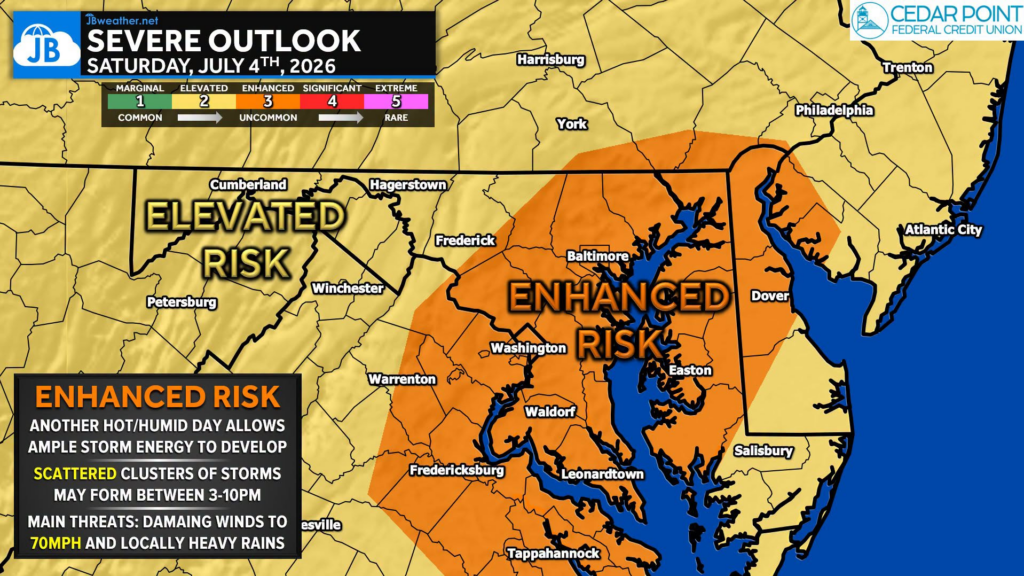
If you have outdoor plans for the Fourth of July, you’ll need to keep an eye on the weather. The Storm Prediction Center has upgraded much of the I-95 corridor and Chesapeake Bay region to an Enhanced Risk (Level 3 of 5) for severe thunderstorms this afternoon and evening. This means scattered severe storms are becoming more likely, not that everyone will see one.
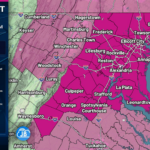
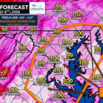
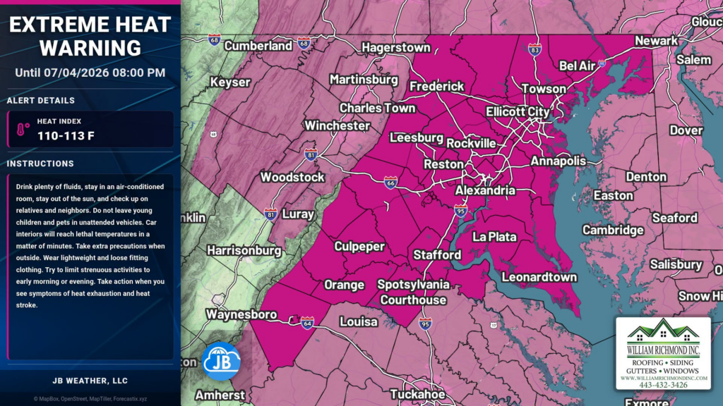
Before any storms develop, temperatures will once again challenge the century mark, with heat index values climbing to 105°-110°. An Extreme Heat Warning remains in effect through this evening.
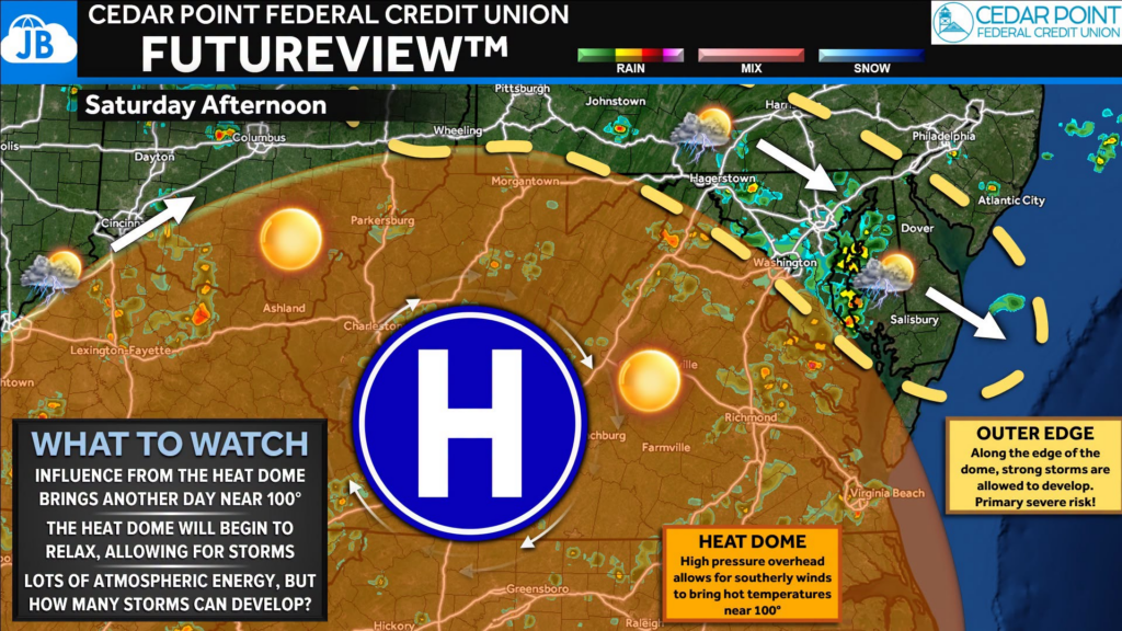
The setup is fairly straightforward. The heat dome that has kept our weather mostly dry all week is beginning to weaken. At the same time, another day of temperatures near 100° and tropical humidity will create an atmosphere loaded with energy. As disturbances ride around the edge of the heat dome, scattered thunderstorms are expected to develop during the afternoon and evening.
Primary threats include:
🌬️ Damaging winds of 60-70+ mph
⚡ Frequent lightning
🌧️ Torrential downpours
🌳 Isolated tree damage and power outages
Timing: The greatest threat appears to be between 3 PM and 9 PM, although a few storms could linger later into the evening and affect fireworks displays. Not everyone will see a thunderstorm, but those that do could experience rapidly changing and dangerous conditions. Storms may also linger into the evening, potentially impacting cookouts, festivals, and fireworks displays.
Bottom Line: Today is a day to stay weather-aware. Prepare for another afternoon of dangerous heat, but also have multiple ways to receive warnings if you’re spending time outdoors. The combination of extreme heat and an increased risk for severe thunderstorms will make this one of the most active weather days we’ve seen in quite some time.
Stay with JB Weather for the latest information on impacts here in Southern Maryland and across the Mid-Atlantic. You can always access my forecasts and updates here on the website, on Facebook, on Twitter, on Instagram, and on YouTube. JB Weather is the Mid-Atlantic’s Weather Leader, and I am working around the clock to keep you ahead of any storm!
John Bordash
View More PostsJB Weather forecaster John Bordash is working around the clock to provide Southern Maryland, and neighboring communities, with accurate and reliable weather information.