Brought to you by Sonder Studios
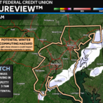
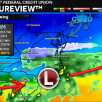
A weak band of snow is sliding through the region this morning, bringing a quick coating in a few spots and flurries for many others. Behind it, cold air remains firmly in place as we close out 2025 and head into the New Year.
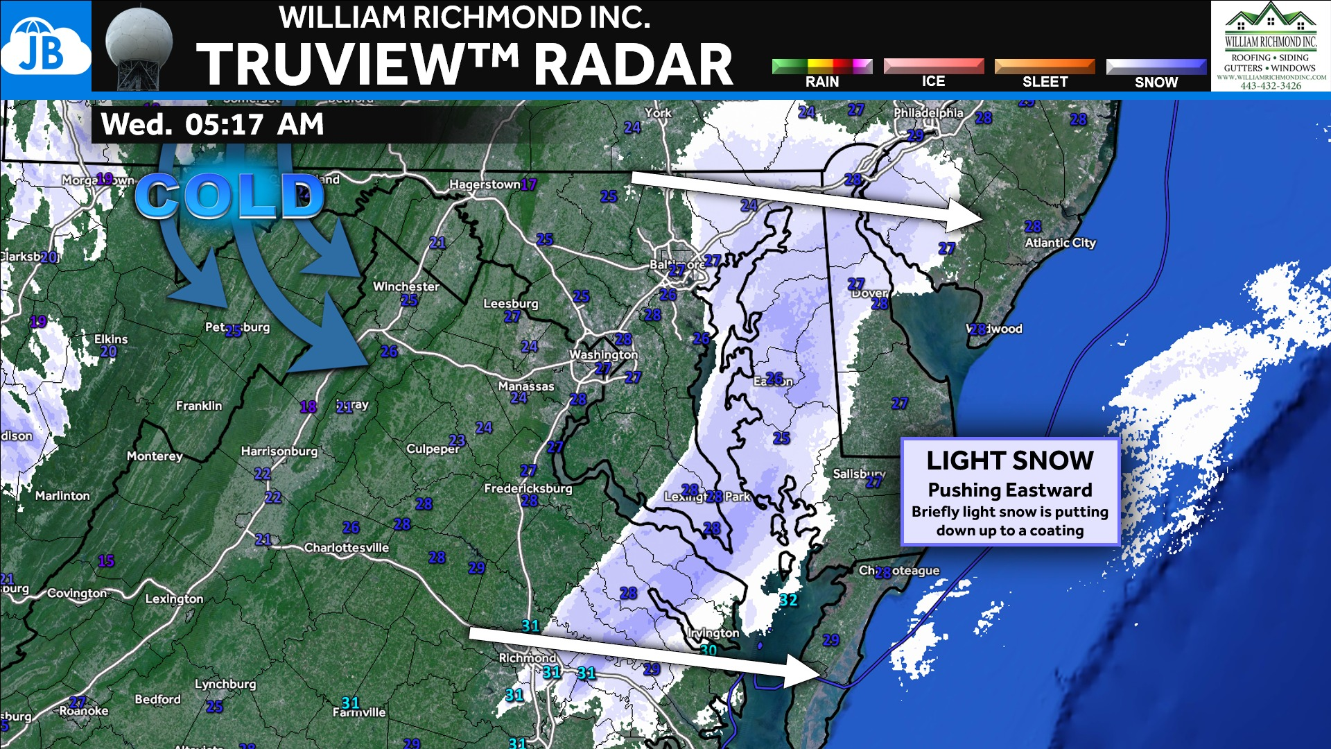
A narrow band of light snow pushed through the region this morning, briefly coating a few locations while many others picked up nothing more than flurries. This activity is fast-moving and continues to slide east, with conditions improving steadily through the morning hours. Any lingering flurries will taper off, but colder air remains locked in behind the system.
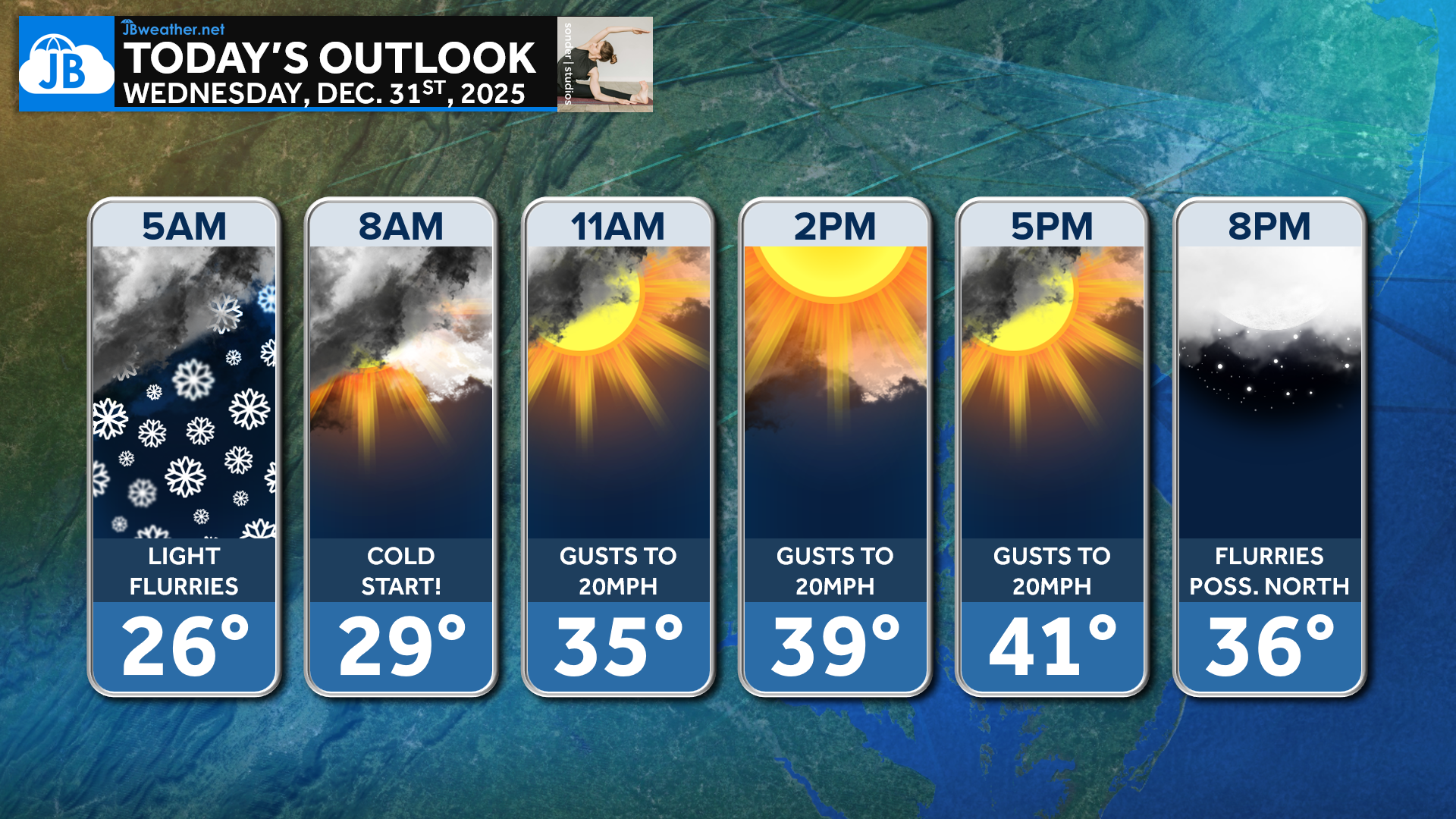
In the wake of the snow, today will feel like a classic mid-winter day across the region. Cold northwest breezes will keep temperatures in check, with highs struggling to reach 40 degrees in most spots. While sunshine will gradually break through, it won’t do much to help temperatures rebound, keeping the overall feel crisp and wintry.
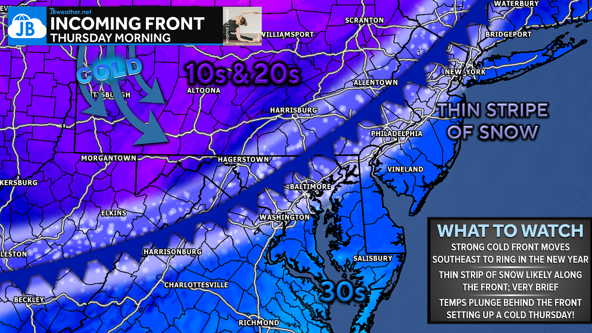
As we ring in the New Year tonight, conditions will remain quiet but cold, making for a dry — though chilly — midnight celebration. A strong cold front will sweep through during the early morning hours on Thursday, possibly producing a thin, brief stripe of snow, especially north of Washington, D.C. Behind the front, even colder air pours in, setting up a raw New Year’s Day with highs in the 30s and wind chills lingering in the 20s.
Stay with JB Weather for the latest information on impacts here in Southern Maryland and across the Mid-Atlantic. You can always access my forecasts and updates here on the website, on Facebook, on Twitter, on Instagram, and on YouTube. JB Weather is the Mid-Atlantic’s Weather Leader, and I am working around the clock to keep you ahead of any storm!

SONDER STUDIOS® is home to Yoga, Pilates, Barre, and Strength classes in Calvert County. Wellness is our business, and belonging is at the heart of our culture. We are grateful for your trust for 6+ years. Sign up for an intro week at www.sonderstudios.us
John Bordash
View More PostsJB Weather forecaster John Bordash is working around the clock to provide Southern Maryland, and neighboring communities, with accurate and reliable weather information.