After a beautiful midweek break from the heat, the atmosphere is becoming more active again as we head into Friday and Saturday.
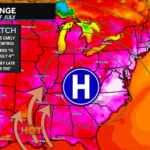
☀️ Friday: High pressure slides offshore, allowing warmer and more humid air to return. Temperatures will climb into the upper 80s to near 90°, making it feel much more like summer again.
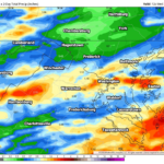
🌩️ Friday Afternoon & Evening: A slow-moving cold front will approach the region, serving as the focus for scattered showers and thunderstorms. Not everyone will see rain, but those that do could experience heavy downpours, frequent lightning, and gusty winds. A few stronger storms capable of 45-60 mph wind gusts cannot be ruled out, especially across areas south of I-70, though confidence in who sees stronger storms remains low.
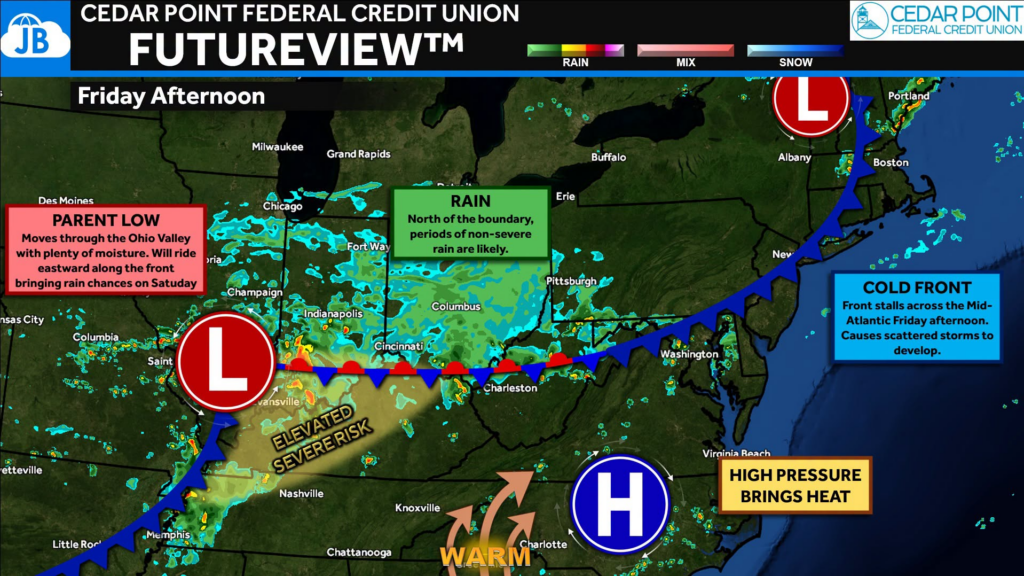
🌦️ Saturday: The front slows down and stalls near the region while a developing low pressure system rides along it. Instead of one continuous rain event, expect multiple rounds of showers and thunderstorms throughout the day. There will still be dry periods, so Saturday is NOT expected to be a washout, but you’ll want to keep an eye on the radar if you have outdoor plans.
🌤️ Looking Ahead: The front finally begins to pull away Saturday night, bringing drier weather back for Sunday with seasonably warm temperatures.
John Bordash
View More PostsJB Weather forecaster John Bordash is working around the clock to provide Southern Maryland, and neighboring communities, with accurate and reliable weather information.