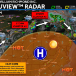
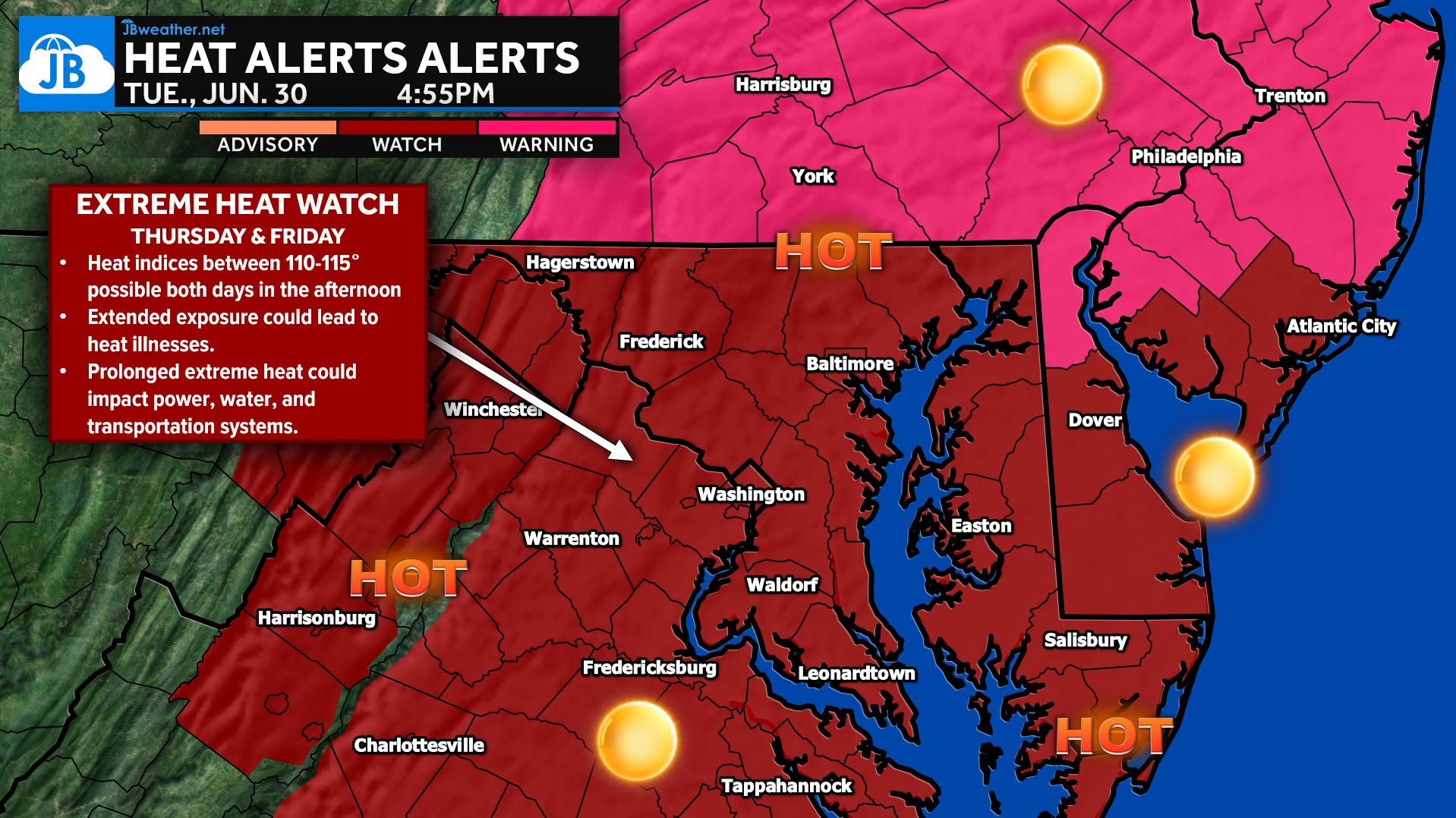
The National Weather Service has now issued an Extreme Heat Watch for portions of our region as the core of this dangerous heat wave settles overhead later this week. This isn’t your typical stretch of summer heat. This has the potential to become one of the hottest periods we’ve experienced in years.
What to Expect:
🔥 Heat index values between 110° and 115° are possible Thursday and Friday afternoon.
🌞 Actual air temperatures will climb into the upper 90s and lower 100s, with oppressive humidity making it feel even hotter.
🌙 Little relief is expected overnight, with warm temperatures continuing well into the night.
📅 Dangerous heat could linger into Saturday, extending impacts through the Independence Day holiday.
Why This Matters
Extended exposure to this level of heat can quickly lead to heat exhaustion or life-threatening heat stroke. In addition to health concerns, prolonged extreme heat can also place increased stress on power grids, water systems, and transportation infrastructure.
Heat Safety Reminders
💧 Drink plenty of water—even if you don’t feel thirsty.
🏠 Spend as much time as possible in air-conditioned buildings.
⏰ Limit strenuous outdoor activities to the early morning or evening.
👵 Check on elderly neighbors, family members, and anyone without reliable cooling.
🚗 Look Before You Lock. Never leave children or pets in a parked vehicle, even for a few minutes.
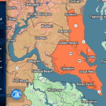
📍 For Southern Maryland: A Heat Advisory is in effect Wednesday, but conditions are expected to become even more dangerous Thursday and Friday, prompting the upgrade to an Extreme Heat Watch.
We’ll continue to fine-tune the forecast over the next couple of days, but confidence is increasing that this will be one of the most significant heat events we’ve seen in quite some time. Stay tuned to JB Weather for the latest updates and any additional heat alerts as they are issued.
Stay with JB Weather for the latest information on impacts here in Southern Maryland and across the Mid-Atlantic. You can always access my forecasts and updates here on the website, on Facebook, on Twitter, on Instagram, and on YouTube. JB Weather is the Mid-Atlantic’s Weather Leader, and I am working around the clock to keep you ahead of any storm!
John Bordash
View More PostsJB Weather forecaster John Bordash is working around the clock to provide Southern Maryland, and neighboring communities, with accurate and reliable weather information.