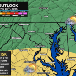
The remnants of what was once Tropical Storm Arthur are now racing through the Southeast, bringing heavy rain, flooding concerns, and even tornadoes across parts of the Gulf Coast. While the strongest impacts will remain well to our south, the system’s outer rain bands may clip portions of our region late tonight into Friday morning.
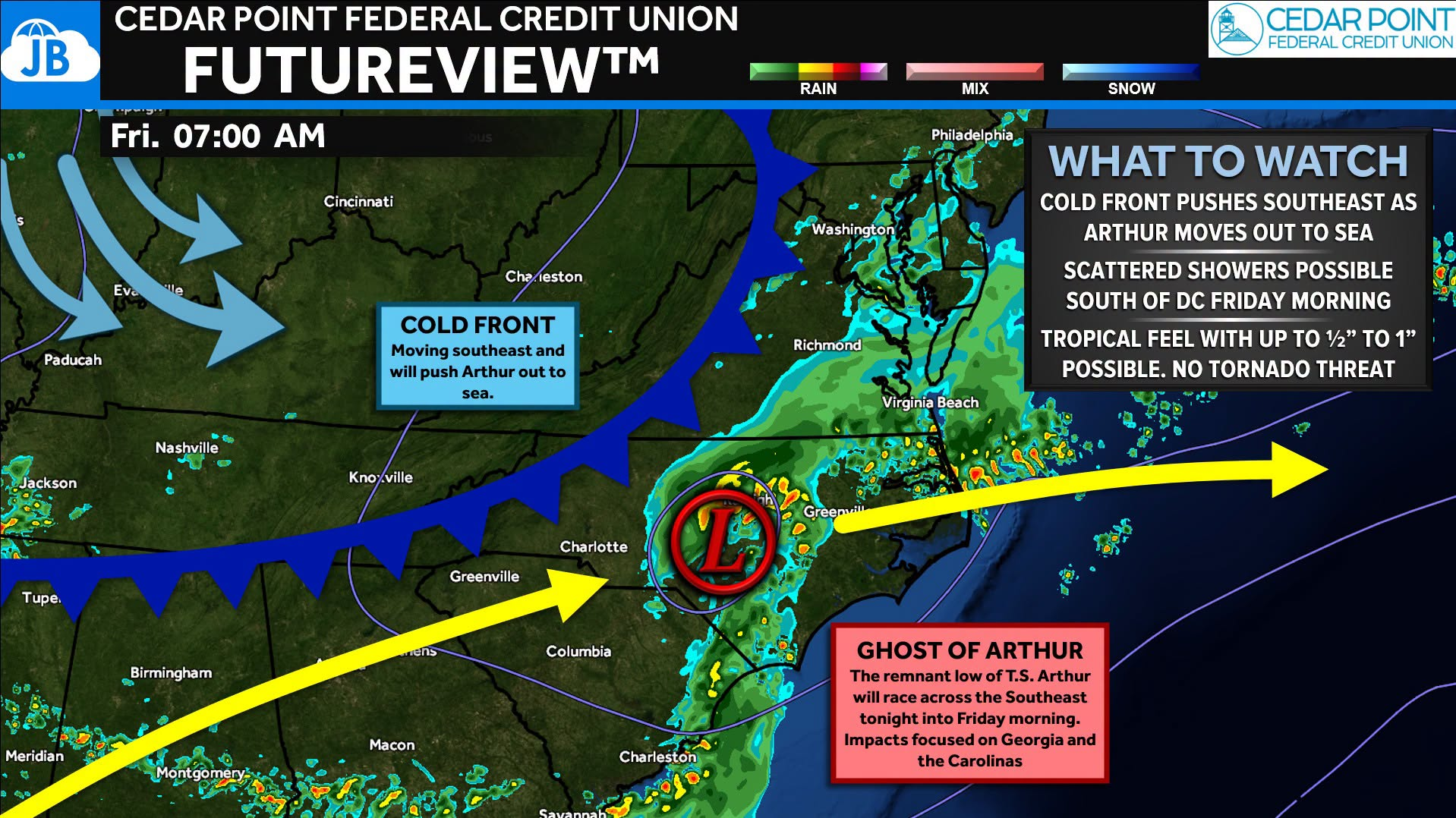
A cold front dropping southward will help steer Arthur’s remnants offshore Friday, but not before some tropical moisture spreads northward. Locally, the best chance for rain will be south of DC, across Southern Maryland and Central Virginia. This is where periods of light to moderate rain are possible through Friday morning. While most locations will see relatively low rainfall totals, some areas could locally pick up around an inch of rain if heavier bands briefly move overhead.
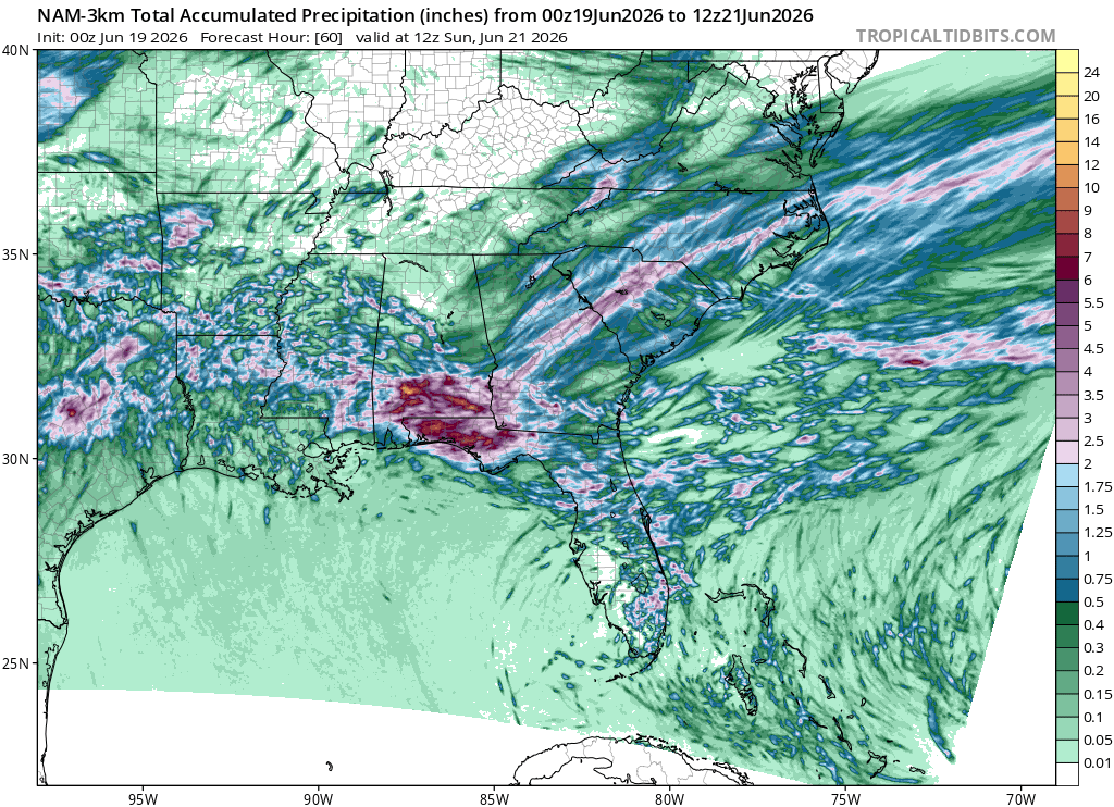
The good news is that the ingredients needed for severe weather and tornadoes will remain well south of our area. By Friday afternoon, Arthur’s remnants will move offshore, rain will end from northwest to southeast, and drier air will begin moving in by midday Friday.
What You Need to Know
🔹 Remnants of Arthur pass through the Southeast tonight into Friday morning
🔹 Best chance for rain is across Southern Maryland and areas south of D.C.
🔹 Some locations could receive up to 1″ of rain, but widespread flooding is not expected
🔹 No tornado threat locally; severe weather remains focused well to our south
🔹 Drier air and lower humidity arrive Friday afternoon and continue into the weekend
Stay with JB Weather for the latest information on impacts here in Southern Maryland and across the Mid-Atlantic. You can always access my forecasts and updates here on the website, on Facebook, on Twitter, on Instagram, and on YouTube. JB Weather is the Mid-Atlantic’s Weather Leader, and I am working around the clock to keep you ahead of any storm!
John Bordash
View More PostsJB Weather forecaster John Bordash is working around the clock to provide Southern Maryland, and neighboring communities, with accurate and reliable weather information.