Brought to you by Bill Oosterink, Realtor
After one of the worst air quality days many of us have experienced in years, conditions are expected to gradually improve on Saturday as winds shift and begin pushing the thick Canadian wildfire smoke northward. While this is certainly good news, hazy skies and degraded air quality will still be part of the forecast, especially during the morning and early afternoon.
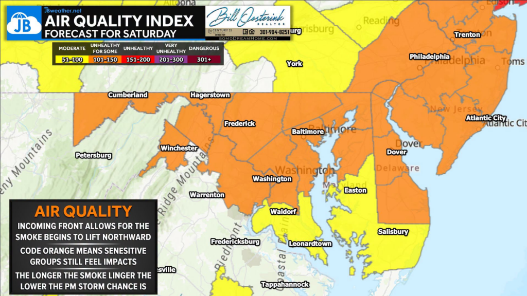
🟠 Code Orange Air Quality Alerts remain in effect across much of the region. A Code Orange (AQI 101-150) means the air is unhealthy for sensitive groups, including children, older adults, pregnant individuals, and those with asthma, heart disease, or other respiratory conditions. While most healthy individuals can continue normal activities, anyone in these sensitive groups should consider limiting prolonged or strenuous time outdoors if symptoms develop.
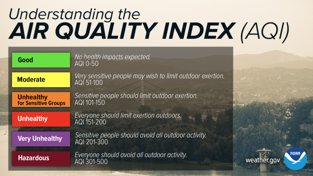
The good news is that this is a noticeable improvement from today’s Code Red and Code Purple conditions, when air quality reached unhealthy to very unhealthy levels for everyone.
🌬️ As a warm front lifts north overnight, cleaner air will slowly work into the region, helping disperse the densest smoke plume. While some smoke and haze will linger, especially early in the day, improving mixing and changing winds should continue to improve air quality through the afternoon.
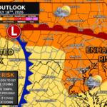
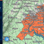
⛈️ One thing we’ll be watching closely is the smoke’s impact on tomorrow’s severe weather potential. If smoke lingers longer than expected, it could limit daytime heating and reduce instability, potentially lowering storm intensity. However, if skies brighten and temperatures climb into the 90s, the atmosphere will become much more unstable ahead of a strong cold front.
I’ll have much more on Saturday’s severe weather threat later today, but for now expect:
- 🌫️ Improving, but still hazy skies
- 🟠 Code Orange air quality for much of the region
- 🌡️ Hot and humid conditions returning
- ⛈️ An increasing risk for strong to severe thunderstorms by Saturday afternoon and evening
Stay with JB Weather for the latest information on impacts here in Southern Maryland and across the Mid-Atlantic. You can always access my forecasts and updates here on the website, on Facebook, on Twitter, on Instagram, and on YouTube. JB Weather is the Mid-Atlantic’s Weather Leader, and I am working around the clock to keep you ahead of any storm!

Brought to you by Bill Oosterink, Realtor. Buying. Selling. Investing. Ready when you’re ready! Check out www.somdDreamHome.com today!

John Bordash
View More PostsJB Weather forecaster John Bordash is working around the clock to provide Southern Maryland, and neighboring communities, with accurate and reliable weather information.