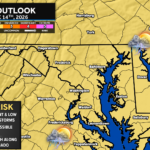
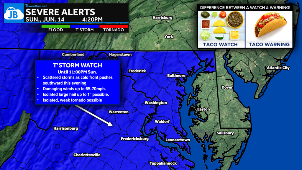
The Storm Prediction Center has issued a Severe Thunderstorm Watch for Washington D.C., much of Maryland west of the Bay, central and northern Virginia, the Eastern Panhandle of West Virginia, and adjacent coastal waters through 11:00 PM Sunday evening.
Thunderstorm coverage is expected to increase through the late afternoon and evening as a warm, humid, and unstable air mass remains in place across the region. Unlike some scattered summer storm days, the atmosphere today has enough wind shear to support organized thunderstorms, meaning storms may become stronger and more sustained as they develop and move across the area.
What Is Driving Today’s Threat?
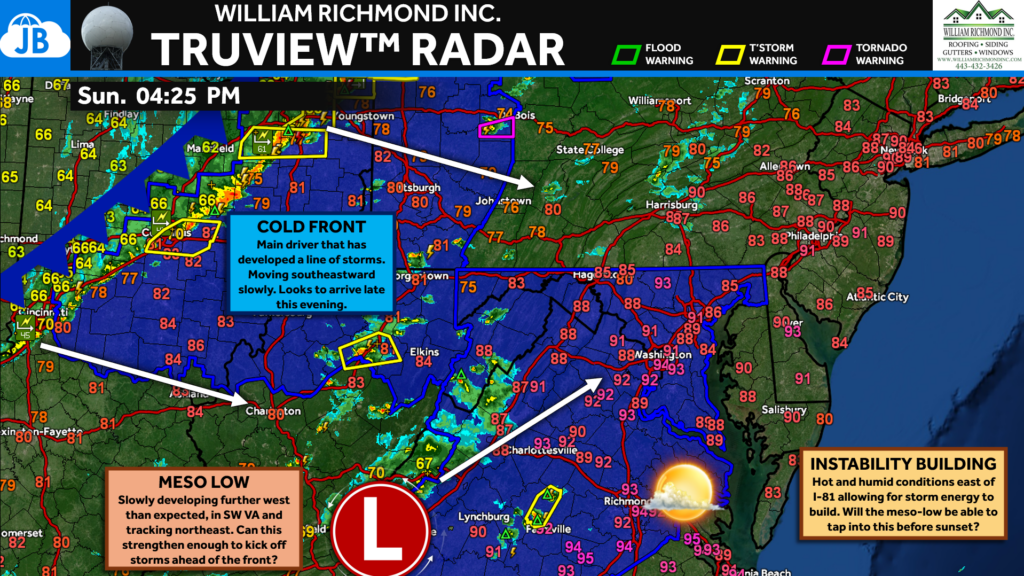
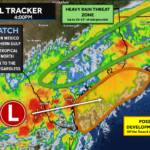
A cold front pushing southward into a very warm and humid air mass will act as the main trigger for thunderstorm development this evening. As storms form, they will be moving through an environment capable of supporting multiple rounds of occasionally severe thunderstorms.
The Storm Prediction Center noted that the 18Z sounding from Dulles sampled 42 knots of deep-layer wind shear, which is more than enough for updraft organization. That means storms may be able to maintain themselves longer, organize into clusters, and produce stronger wind gusts than a typical pop-up summer thunderstorm.
Main Threats
🌬️ Damaging Wind Gusts: Wind gusts up to 70 mph are likely in the strongest storms. These winds could down trees, snap large limbs, and cause scattered power outages. This is the primary severe weather threat.
🧊 Large Hail: Isolated hail up to 1.5 inches in diameter is possible. This would be most likely in the strongest, more organized storm cores.
⚡ Frequent Lightning: Any thunderstorm that develops will be capable of producing dangerous cloud-to-ground lightning.
🌧️ Heavy Downpours: Very heavy rain may occur with stronger storms, especially if multiple rounds move over the same locations.
🌪️ Low Tornado Risk: Tornadoes are not the main threat, but severe thunderstorms can occasionally produce brief, weak spin-ups.
Timing
⏰ 4:15 PM – 11:00 PM
The severe weather threat will continue through the evening hours. Storms may develop in multiple waves, meaning some areas could see more than one round of storms before the threat winds down tonight.
The most important window to remain weather aware will be from the late afternoon through mid to late evening, especially as storms increase in coverage and move southeast across the watch area.
Watch vs. Warning
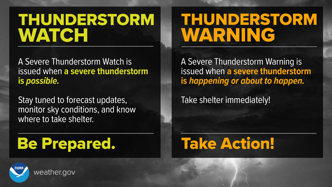
A Severe Thunderstorm Watch means conditions are favorable for severe thunderstorms to develop. A Severe Thunderstorm Warning means a severe thunderstorm is happening or is about to happen, and action should be taken immediately. Remember:
🌮 Taco Watch = The ingredients are on the counter.
🌮 Taco Warning = The taco is ready to eat.
Bottom Line
A Severe Thunderstorm Watch is in effect through 11 PM as multiple rounds of thunderstorms may develop across the region. The strongest storms could produce damaging wind gusts up to 70 mph, isolated large hail, frequent lightning, and heavy downpours.
Not everyone will see severe weather, but any storm that develops this evening could quickly become strong to severe. Make sure you have multiple ways to receive warnings and be ready to move indoors if a Severe Thunderstorm Warning is issued for your area.
Stay with JB Weather for the latest information on impacts here in Southern Maryland and across the Mid-Atlantic. You can always access my forecasts and updates here on the website, on Facebook, on Twitter, on Instagram, and on YouTube. JB Weather is the Mid-Atlantic’s Weather Leader, and I am working around the clock to keep you ahead of any storm!
John Bordash
View More PostsJB Weather forecaster John Bordash is working around the clock to provide Southern Maryland, and neighboring communities, with accurate and reliable weather information.