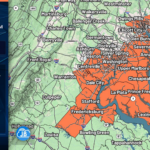
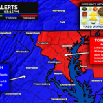
After several days of thick Canadian wildfire smoke, the atmosphere is finally beginning to recover. Winds have shifted to the south this morning, helping push much of the smoke northward while allowing temperatures and humidity to climb. That combination is creating a much more favorable environment for severe thunderstorms later this afternoon and evening.
A powerful upper-level disturbance and approaching cold front will interact with a hot, humid, and increasingly unstable air mass, while 30-45 mph winds just a few thousand feet above the ground help organize storms into stronger clusters and possibly a few supercells.
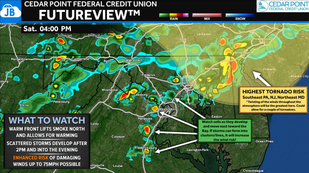
💨 Damaging straight-line winds remain the primary concern, with wind gusts of 55-70+ mph capable of bringing down trees, power lines, and causing scattered power outages. Large hail is also possible, and while the tornado threat remains lower overall, a few isolated tornadoes cannot be ruled out, especially across northeast Maryland into southeast Pennsylvania where wind shear is expected to be strongest.
One thing I’ll be watching closely is how quickly clouds thin this afternoon. It won’t take much sunshine to rapidly destabilize the atmosphere thanks to dew points in the lower to middle 70s. The more heating we receive before storms develop, the greater the severe weather potential becomes.
Storms are expected to develop after 2 PM, initially along the eastern slopes of the Blue Ridge before tracking east toward the I-95 corridor and Chesapeake Bay through the afternoon and evening. Some locations could experience multiple rounds of thunderstorms, bringing not only damaging winds but also torrential rainfall, frequent lightning, and localized flash flooding where storms repeatedly move over the same areas.
⚠️ Bottom Line
🌩️ Enhanced Risk (Level 3 of 5) for severe thunderstorms this afternoon and evening.
💨 Damaging winds up to 70+ mph are the primary threat.
🌪️ An isolated tornado and large hail are possible.
🌧️ Heavy rainfall may lead to localized flash flooding where storms train.
📱 Have multiple ways to receive warnings today, especially if you’ll be outdoors.
I’ll be monitoring radar and forecast trends throughout the day and will post updates as storms begin to develop. Stay weather aware this afternoon and evening.

John Bordash
View More PostsJB Weather forecaster John Bordash is working around the clock to provide Southern Maryland, and neighboring communities, with accurate and reliable weather information.