Brought to you by Chesapeake Orthodontics
Our stretch of winter continues to go on with another round of snow and bitterly cold temps on the way for Friday and the weekend. While most areas are likely to see snowfall, meaningful accumulations and impacts are likely to be kept to the north of the DC Metro area.
After a dry Thursday, our Cedar Point Federal Credit Union Futurecast shows precip moving into the region early Friday morning. Many areas will see an initial wave of snow move overhead through the morning commute. Snow will then begin to focus across our northern spots by mid-to-late afternoon. The snow bands should begin to wrap up by the afternoon and evening hours.
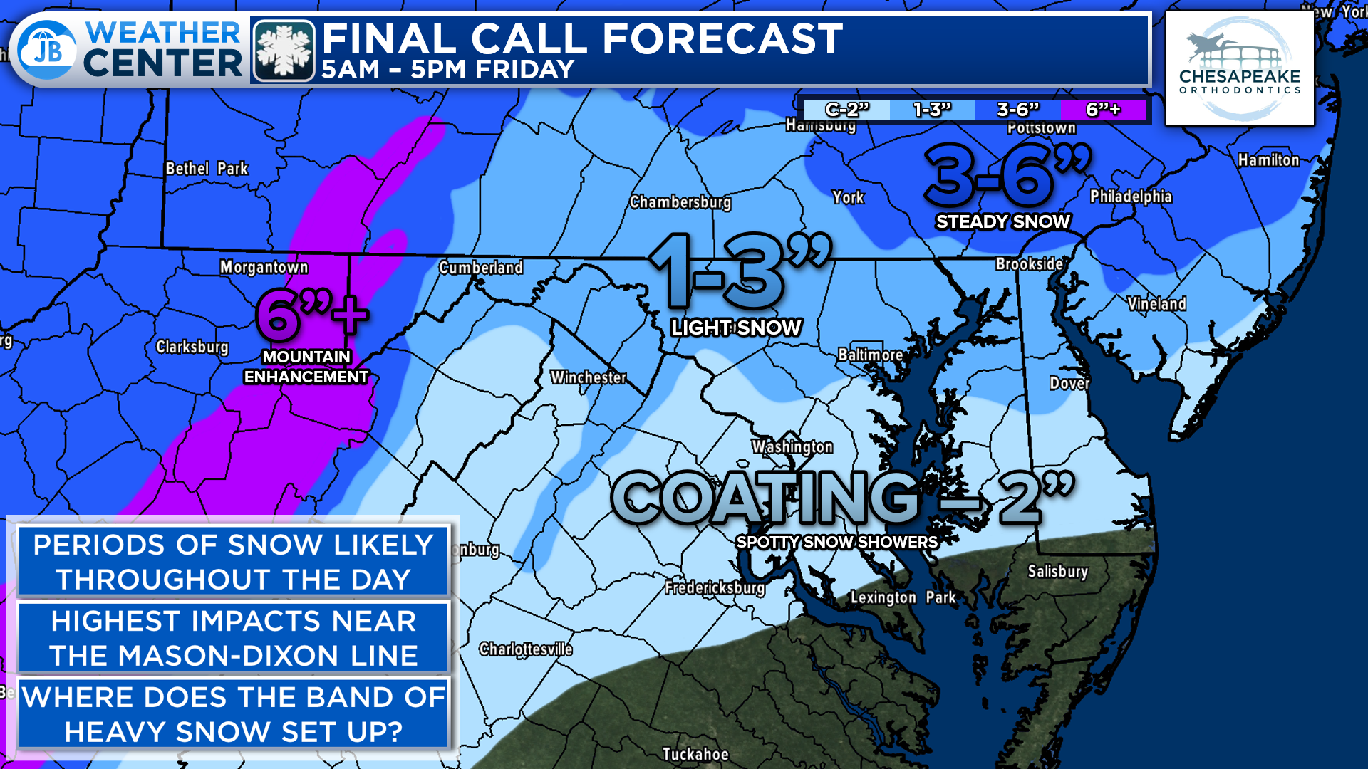
Over the last 24 hours, we have seen our snow totals shift northward. Many spots from DC points south will likely see between a coating to 2″, with many areas being on the lower end of that. The impactful accumulations look to be focused north of the Mason Dixon Line thanks to a band of locally heavy snow that will likely develop.
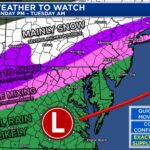
The real question is where that band will set up shop. We may see that band develop anywhere from Southern MD to NYC. Right now, it looks the most likely for NJ and southeastern PA–but we will need to watch that!
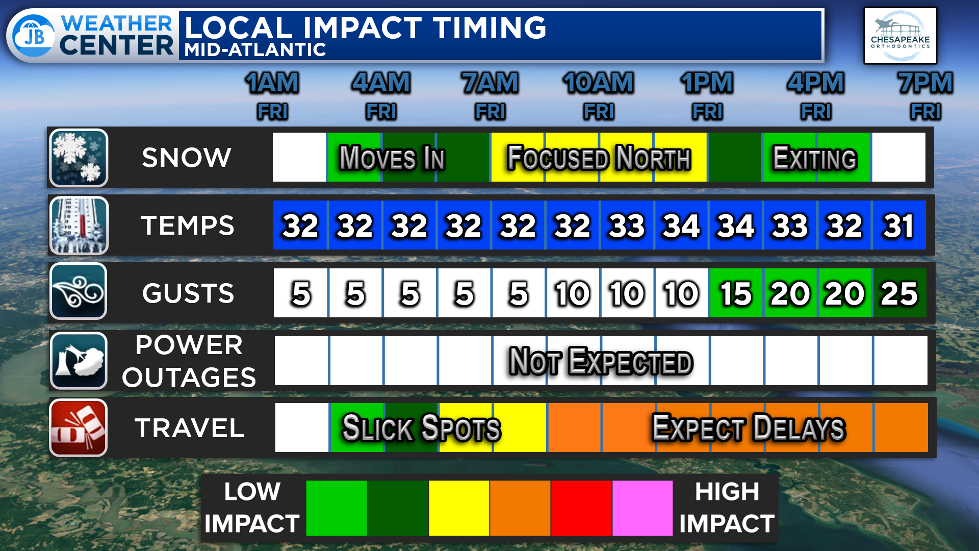
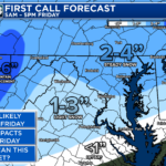
Overall, impacts will be minor to moderate across the Mid-Atlantic. While we will not see as much snow as we did Monday & Tuesday, the timing of this one will pose issues for many areas. Light snow will look to fall between 5am-5pm with temperatures around freezing. Impacts on area roadways look likely–especially on secondary roads north of DC.

This School Odds forecast is a tough one! It seems likely that schools in Southern PA will close tomorrow and that schools in Central VA will open on time tomorrow. The zone in between is hard to figure out. Again, we’re not talking much snow, but it’s timing is the most subpar.
Right now, I would favor delays over closings in Southern MD. However, if that morning band of snow is heavy enough, I could see closures there as well! I would put Delay odds at 70% there with Closure odds at 30%. North of DC, Delays are almost certain, with closures looking likely a real possibility.
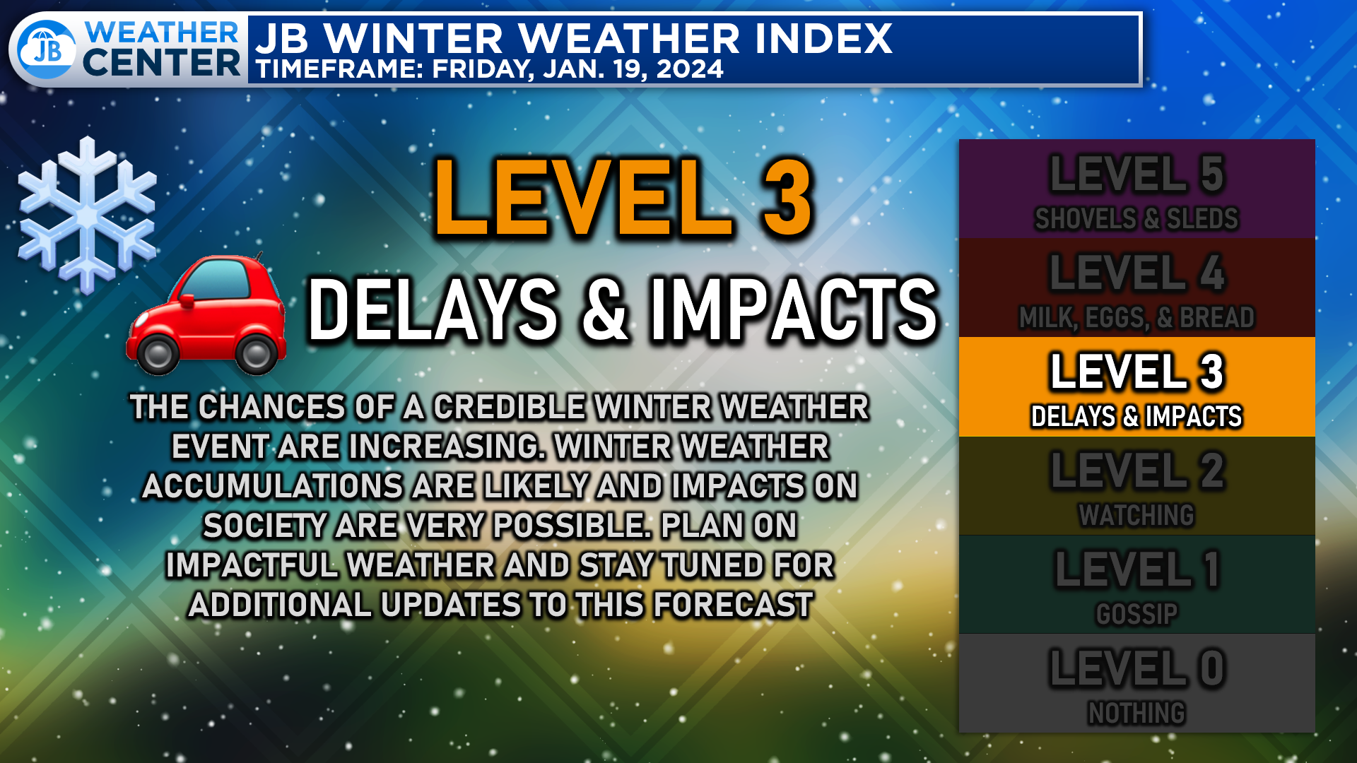
All in all, this system will bring plenty of delays and some impacts to the Mid-Atlantic. It is hardly our biggest storm ever, but the timing of it is what will likely pose issues in many spots. Expect periods of snow throughout the day with the highest totals found near the Mason-Dixon Line!
Stay with JB Weather for the latest information on impacts here in the Mid-Atlantic. You can always access my forecasts and updates here on the website, on Facebook, on Twitter, and on YouTube. JB Weather is Southern Maryland’s Weather Leader, and I am working around the clock to keep you ahead of any storm!
-JB
Dr. Thomas Hao and Dr. Dylan Schneider offer comprehensive orthodontic services for all ages. Schedule your free consultation today. Visit www.SOMDBraces.com today for more information!
John Bordash
View More PostsJB Weather forecaster John Bordash is working around the clock to provide Southern Maryland, and neighboring communities, with accurate and reliable weather information.