






Tracking the Mid-Week Winter Storm Threat
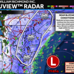
A system mid-week is likely bring some winter weather impacts to the Mid-Atlantic. The degree of the impacts, though, are uncertain.

A system mid-week is likely bring some winter weather impacts to the Mid-Atlantic. The degree of the impacts, though, are uncertain.
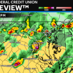
An active weather day is on tap as a dynamic system brings early warmth before the cold front brings more rain and chilly winds!
A developing system next week may look to bring the region the chance of more accumulating snow. But the forecast is far from certain.
A period of snow, sleet, and freezing rain look possible northwest of I-95 before a surge of warm air transitions all areas to rain.
Brought to you by Sonder Studios After our brief warm-up yesterday, we have a seasonal cool day on tap for Valentine’s Day! Many spots will […]
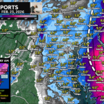
A cold rain has been moving through overnight after our winter storm. The rain should end by lunch, allowing for a warm-up and winds!
