Upgraded Flood Threat
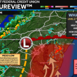
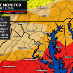
With the threat of heavy rain increasing, parts of our region have been UPGRADED to a Significant Risk (Level 3 of 4) of flooding today. […]
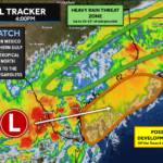
We once again have another heavy rain threat on tap for today, and the rain looks to be more widespread than yesterday. The National Weather […]
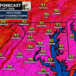
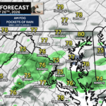
After last night’s heavy rain, we are off to a mild and humid start this morning. We will see rain develop this afternoon, and this […]
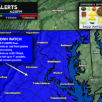
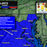
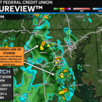
The Storm Prediction Center has issued a TORNADO WATCH for Southern Maryland, and areas east of I-81. This watch is in effect until 9PM Thursday. Primary threats […]
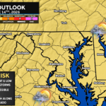
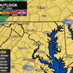
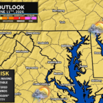
The Storm Prediction maintains the Elevated Risk across the region for this afternoon and evening.
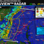
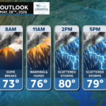
While we are awaiting the latest update from the Storm Prediction Center, here’s a look at the timing of today’s weather (shown via Futurecast). We’ll […]
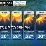
Good morning! We have seen some rain move through overnight, and that should come to an end around mid-morning. We are on tap for warm […]
Our region remains under an Elevated Threat (Level 2 of 5) of seeing severe storms tomorrow afternoon. After morning showers, a cold front will move […]
The National Oceanic & Atmospheric Administration (NOAA) has just released its outlook for the 2021 Hurricane Season. On the heels of last year’s record-breaking season

John Bordash was born and raised in Southern MD. Living in the region for most of his life, he knows that the region receives very limited weather coverage, especially when dangerous weather moves in. John created JB Weather to keep Southern Maryland communities informed and prepared. From the southernmost tip of St. Mary’s to the 301-corridor, John Bordash is keeping you ahead of the storm.