



Severe Weather Possible Thursday Evening
With another hot and increasingly humid day across the Mid-Atlantic, scattered thunderstorms are expected to develop later this afternoon and evening. While not everyone will […]
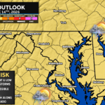
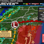
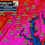
We have a hot and humid day on tap! Temperatures are set to race into the middle 90s with high humidity that will make it […]
We have a warm, increasingly humid air mass that has set up shop along the East Coast. This is ahead of an approaching cold front […]
We have a quiet weather day on tap with mostly sunny skies sticking around! We are off to a cool start this morning, and temperatures […]
After some amazing weather this weekend, we have a pretty nice day on tap to start the work week! We will keep the low humidity […]
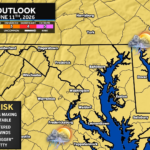
The Storm Prediction Center has issued a Severe Thunderstorm Watch for Southern Maryland and much of Virginia, West Virginia, and southeast Ohio through 9:00 PM […]
