



Thursday’s Forecast: Calm and cool before the snow
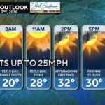
We have a calm and quiet day on tap across Southern Maryland as highs looks to get into the 40s. Clouds do increase tonight though ahead of our next storm.
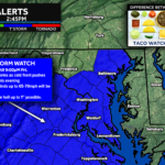
As snow looks set to impact the region, the National Weather Service has issued a Winter Weather Advisory for Thursday night and Friday morning.
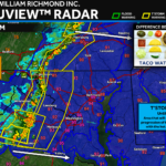
The second snowfall of the week is set to bring moderate snow accumulate late Thursday night and will lead to high impacts for Friday morning.
After an icy start, we have a seasonally mild day on tap across the region which should help recovery efforts after Monday’s snowstorm!
Light freezing rain will be possible across the region tomorrow, which could add impacts as resident continue the clean up from Monday’s storm.
Residents are digging out today after Monday’s significant snowstorm. However, it may not be long before more snow moves back into the region.
Temperatures struggle to make it to freezing today, which will help keep those slick spots around today.
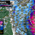
In the wake of a 6-12″+ snowstorm, our region will be left with high impacts that will linger into Tuesday affecting schools and travel.
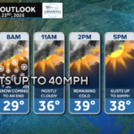
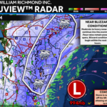
High impacts are likely across Southern Maryland today as a significant winter storm is on track to move through the region with heavy snow and gusty winds.
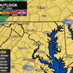
Southern Maryland is on tap to see its most significant winter storm in nearly 3 years. Heavy snow and gusty winds will bring high impacts.

John Bordash was born and raised in Southern MD. Living in the region for most of his life, he knows that the region receives very limited weather coverage, especially when dangerous weather moves in. John created JB Weather to keep Southern Maryland communities informed and prepared. From the southernmost tip of St. Mary’s to the 301-corridor, John Bordash is keeping you ahead of the storm.