


AM Update: Monday’s Accumulation Forecast Is on the Rise
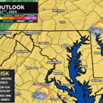
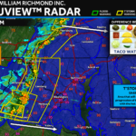
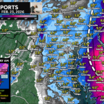
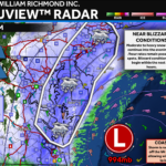
Overnight trends with Monday’s system have led to an increase in the snow forecast. Moderate winter weather impacts are possible Monday AM!
A cold front will move through the region late Sunday as a system develops to our south. This combination could could lead to our first snow of the year.
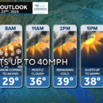
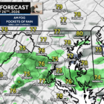
A brief rain/snow mix will be possible across the region this morning before some afternoon and evening clearing.
A weak system will pass to our south on Wednesday, and may bring a light rain/snow mix to the region. Limited accumulations expected.
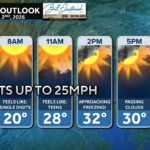
A cool day is on tap with ample cloud cover ahead of our next weather system on Wednesday. Temps will only max out in the 40s.
A weak system sliding to our south on Wednesday may look to bring parts of the region it’s first snowfall, but it may not be much.
Brought to you by Chesapeake Orthodontics We are off to a mild start by early December standards! Many of you are waking up to temperatures in […]
In this forecast, I take a look at the major drivers for the winter season, the overall expected pattern, and my forecast seasonal snow totals.
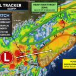
The National Hurricane Center is monitoring 5 potential areas of tropical development heading into this week.
An incoming front will lead to a cool day across the region with scattered showers through tonight.

John Bordash was born and raised in Southern MD. Living in the region for most of his life, he knows that the region receives very limited weather coverage, especially when dangerous weather moves in. John created JB Weather to keep Southern Maryland communities informed and prepared. From the southernmost tip of St. Mary’s to the 301-corridor, John Bordash is keeping you ahead of the storm.