Tuesday’s Forecast: The Cold Intensifies
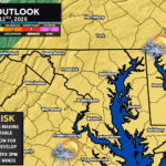
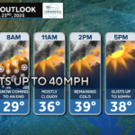
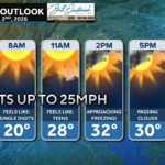
The coldest air of the season yet will intensify today, keeping most spots below freezing with a stubborn northwest wind.
The coldest air of the season yet will intensify today, keeping most spots below freezing with a stubborn northwest wind.
After a rainy Sunday, we will have a fresh injection of cold air making it’s appearance to start the work week. We will also have gusty northwesterly winds!
As an incoming front works through the Mid-Atlantic on Sunday, a period of freezing rain is possible northwest of I-95.
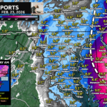
After the cold and snow yesterday, we have another cold day on tap with temperatures struggling to get to freezing.
A quick post-storm analysis of Friday morning’s snowfall event that brought the area between 1-2″.
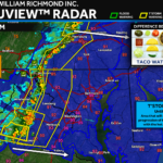
After last night’s light snow event, cold and windy conditions will set in across the region.
We have a calm and quiet day on tap across Southern Maryland as highs looks to get into the 40s. Clouds do increase tonight though ahead of our next storm.
As snow looks set to impact the region, the National Weather Service has issued a Winter Weather Advisory for Thursday night and Friday morning.
